Kavieng Airport
| Kavieng Airport | |||||||||||
|---|---|---|---|---|---|---|---|---|---|---|---|
| IATA: KVG – ICAO: AYKV | |||||||||||
| Summary | |||||||||||
| Airport type | Public | ||||||||||
| Location | Kavieng | ||||||||||
| Elevation AMSL | 2 m / 7 ft | ||||||||||
| Coordinates | 02°34′45″S 150°48′28″E / 2.57917°S 150.80778°E | ||||||||||
| Map | |||||||||||
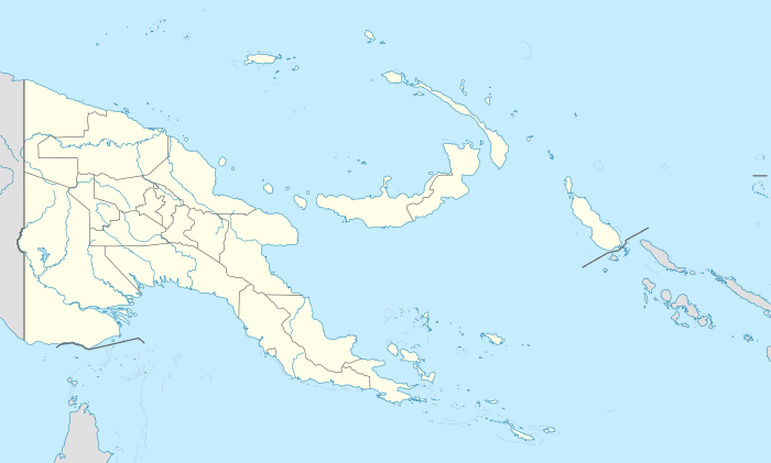 KVG Location of airport in Papua New Guinea | |||||||||||
| Runways | |||||||||||
| |||||||||||
Kavieng Airport (IATA: KVG, ICAO: AYKV) is located in Kavieng, New Ireland, Papua New Guinea and is located approximately 1 km away from the town centre.
The airport was first built by the Japanese as a military airbase in 1942. After the end of the war, it was converted to civilian use, and now possesses a modern, though small terminal facility.
It is officially an international airport, but is yet to be used for regular commercial international flights.
Airlines and destinations
| Airlines | Destinations |
|---|---|
| Air Niugini | Lorengau, Port Moresby, Rabaul |
Kavieng airport was there before the Japanese invasion. Australian troops were sent there to defend it.
External links
- Airport information for AYKV at World Aero Data. Data current as of October 2006.
This article is issued from Wikipedia - version of the 11/27/2016. The text is available under the Creative Commons Attribution/Share Alike but additional terms may apply for the media files.