Keelby
| Keelby | |
 Church of St Batholomew, Keelby |
|
 Keelby |
|
| Population | 2,092 (2011) |
|---|---|
| OS grid reference | TA161097 |
| – London | 140 mi (230 km) S |
| District | West Lindsey |
| Shire county | Lincolnshire |
| Region | East Midlands |
| Country | England |
| Sovereign state | United Kingdom |
| Post town | Grimsby |
| Postcode district | DN41 |
| Dialling code | 01469 |
| Police | Lincolnshire |
| Fire | Lincolnshire |
| Ambulance | East Midlands |
| EU Parliament | East Midlands |
| UK Parliament | Gainsborough |
|
|
Coordinates: 53°34′16″N 0°14′52″W / 53.571078°N 0.247825°W
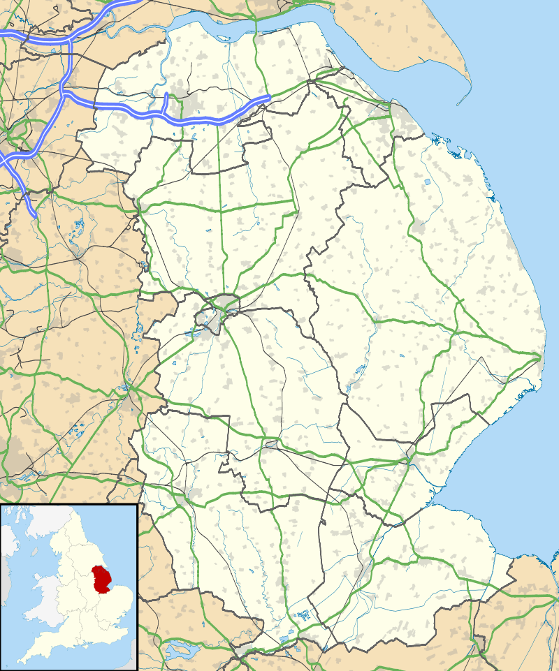
Keelby is a village and civil parish in the West Lindsey district of Lincolnshire, England, on the A18, 6 miles (10 km) west from the seaport of Grimsby and 4 miles (6 km) east from the local Humberside Airport, with close access to the A180 to the north, and M180 to the west.
In the 2001 Census it had a population of 2,172, comprising 48.6% males, and 51.4% females. The population at the 2011 census (including Brocklesby) was 2,092.[1]
Keelby is listed in the Domesday Book as "Chelebi" or "Chilebi".[2] A place name ending in "-by" generally indicates that the town or village was a primary Viking settlement.
Keelby has a tennis court, bowling green, park, primary school, guest house and a war memorial, a Mace and a Spar store, and two public houses, the King's Head and the Nag's Head. Religious sites are the Church of England St Bartholomew's Church and a Methodist chapel.
Keelby once had a village pond situated at the junction of Pelham Crescent and Mill Lane, however this was filled in during the 1950s.
There is a football club with adult and junior teams. The village cricket club, reformed in 1975 after a 10-year break, plays in the Lincolnshire League, the Grimsby Midweek League and the East Lindsey Sunday League. Matches were played on the village green until 2009 before moving to a new multi-purpose sports complex on the edge of the village in 2010.
Keelby is within the catchment area of three secondary schools, Healing Comprehensive, Caistor Yarborough, and Caistor Grammar School.
References
- ↑ "Civil parish population 2011". Neighbourhood Statistics. Office for National Statistics. Retrieved 24 April 2016.
- ↑ "National Archive Domesday Book". Retrieved 10 May 2013.
External links
 Media related to Keelby at Wikimedia Commons
- Keelby football club
England Portal | |
| Unitary authorities | |
| Boroughs or districts | |
| Major settlements |
|
| Topics | |