Keokradong
| Keokradong | |
|---|---|
.JPG) Small shelter and a signboard put up by the Bangladeshi military | |
| Highest point | |
| Elevation | 986 m (3,235 ft) |
| Prominence | 400 m (1,300 ft) [1] |
| Listing | List of mountains of Bangladesh |
| Coordinates | 21°56′59″N 92°30′51″E / 21.94972°N 92.51417°ECoordinates: 21°56′59″N 92°30′51″E / 21.94972°N 92.51417°E |
| Geography | |
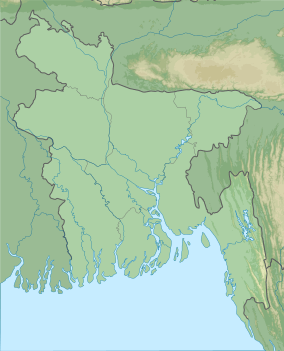 Keokradong Location in Bangladesh, near the border with Myanmar | |
| Location | Ruma, Bandarban |
| Geology | |
| Mountain type | Mountain |
Keokradong is a peak located in Bandarban, Bangladesh, with an elevation of 986 metres (3,235 ft).[2] Some sources claim it as the highest point of Bangladesh.
On the top of Keokradong there is a small shelter and a signboard put up by the Bangladeshi military proclaiming the elevation to be 3,172 feet.
Height measured by handheld GPS shows it is 986 metres (3,235 ft) with 3m accuracy.[3]
There is a controversy about the highest point of Bangladesh, and some sources indicate Mowdok Mual as the most elevated peak of the country.[4]
See also
Notes
- ↑ SRTM data
- ↑ Elevation extremes, CIA: the World Factbook.
- ↑ Keokradong, Banglatrek, Banglatrek.org.
- ↑ "Mowdok Mual, Bangladesh". Peakbagger.com.
This article is issued from Wikipedia - version of the 12/6/2015. The text is available under the Creative Commons Attribution/Share Alike but additional terms may apply for the media files.