Kepwick
Coordinates: 54°18′43″N 1°16′46″W / 54.311958°N 1.27934°W
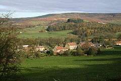
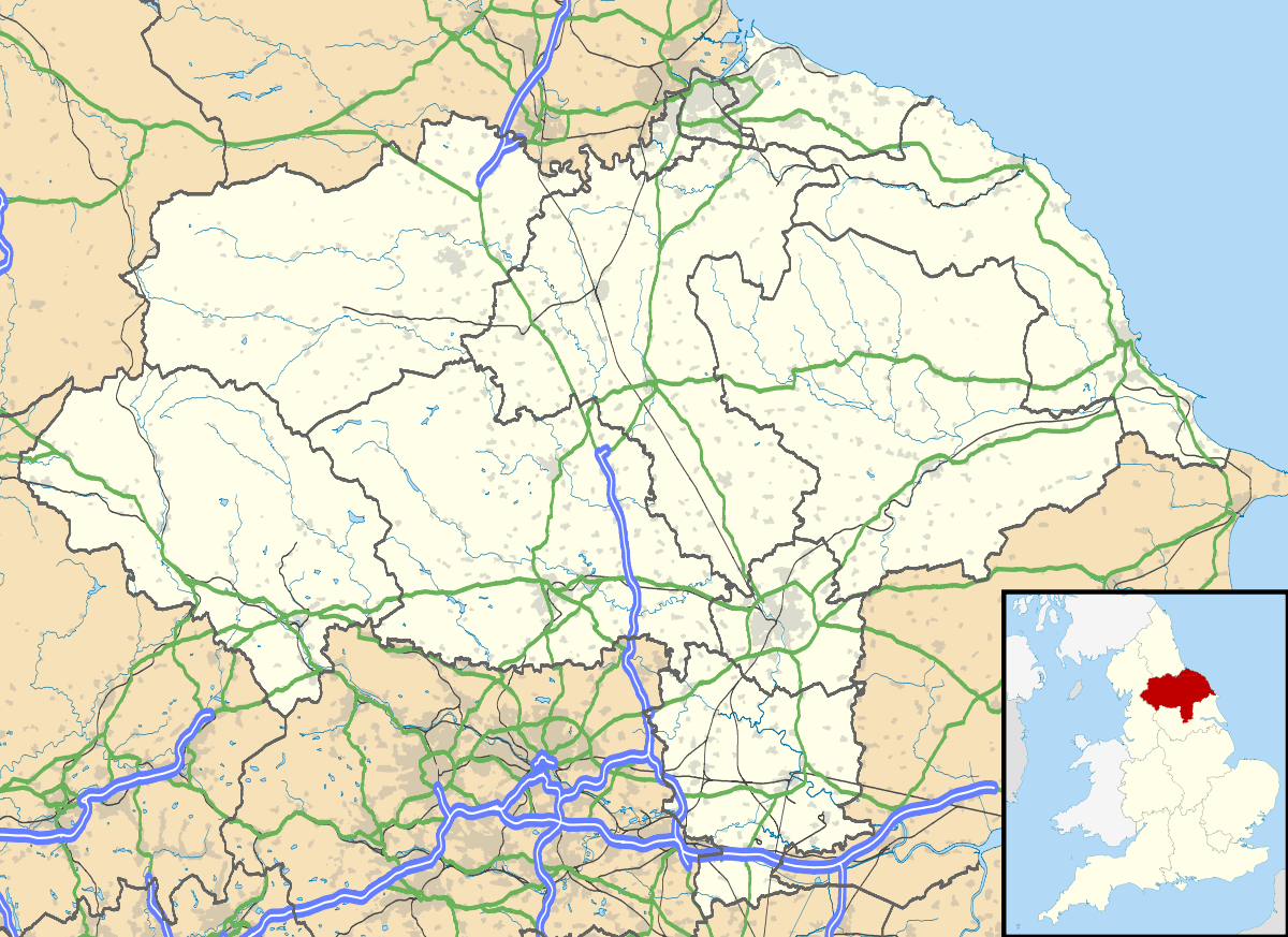
Kepwick is a village and civil parish in the Hambleton district of North Yorkshire, England, in the North York Moors and near the A19. The population taken at the 2011 Census was less than 100. Details are included in the civil parish of Nether Silton.
History
The village is mentioned twice in the Domesday Book as either Chipuic or Capuic in the Allerton hundred. At the time of the Norman invasion, the manor was split between Orm, son of Gamil, Arnketil and Gillemicel. Afterwards some of the land remained with the Crown, but some was granted to Hugh, son of Baldric as the main tenant.[1] Up to the 13th century the lands were granted to the Mowbray family who installed mesne lordships to the Nevill and Malbiche families. The manor then passed to a Nicholas de Punchardon, who in turn sold to one Ingram Knout around 1316. After the Knout family ran into financial trouble, Margaret Knout married into the Lepton family to retain some of the land, with other parts being owned by the Bransby family at the start of the 15th century. When the Lepton family also ran into financial problems, they sold their land to Thomas, Lord Fauconberg of Newburgh in 1640 and they retained this land until 1808.[2][3]
Remnants of the quarrying of limestone, sandstone and ironstone can be seen on the hills to the east of the village as well as the line of the tramway that connected them to the lime kilns. The tramway was not used after 1893. The remains of those Lime Kilns to the west of the village are designated a scheduled ancient monument.[4]
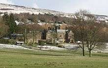
There had been a chapel dedicated to St Margaret built around 1300, but this disappeared at the time of the reformation. A private chapel was built in 1894 by the local landowner where Wesleyan held service. This has since passed into private hands.[2][5]
Governance
The village is within the Richmond (North Yorkshire) UK Parliament constituency. It is within the North Hambleton electoral division of North Yorkshire County Council and the Osmotherley ward of Hambleton District Council.[6]
Geography
The nearest settlements are Nether Silton1.1 miles (1.8 km) to the north-east and Cowesby 0.7 miles (1.1 km) to the south-east. The A19 road lies 2.2 miles (3.5 km) to the west. At the east end of the village, Eller Beck runs of the Kepwick Hall Estate to join the Marl Pits Beck to the north. These form part of the Cod Beck tributary system that feed the River Swale.[6]
The 1881 UK Census recorded the population as 168.[3]
At the end of the road to the disused quarries, to the east of the village, lies the old Hambleton Drove Road which forms part of the Cleveland Way National Trail.[7]
References
- ↑ Kepwiok in the Domesday Book. Retrieved 24 January 2013.
- 1 2 "History". Retrieved 20 January 2013.
- 1 2 Bulmer's Topography, History and Directory (Private and Commercial) of North Yorkshire 1890. S&N Publishing. 1890. pp. 788–789. ISBN 1-86150-299-0.
- ↑ "Lime Kilns - List of Scheduled Monuments". Retrieved 24 January 2013.
- ↑ "Village info". Retrieved 24 January 2013.
- 1 2 Ordnance Survey Open Viewer
- ↑ "Drove Road" (PDF). Retrieved 24 January 2013.
External links
| Wikimedia Commons has media related to Kepwick. |