Kettle Creek Historic District
|
Kettle Creek Historic District | |
 | |
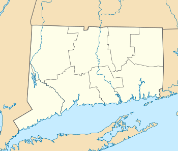  | |
| Location | Roughly, Weston and Old Weston Rds. N of Broad St., Weston, Connecticut |
|---|---|
| Coordinates | 41°11′12″N 73°22′15″W / 41.18667°N 73.37083°WCoordinates: 41°11′12″N 73°22′15″W / 41.18667°N 73.37083°W |
| Area | 15 acres (6.1 ha) |
| Architectural style | Colonial Revival, Colonial, Post Medieval English |
| NRHP Reference # | 95001348[1] |
| Added to NRHP | November 22, 1995 |
The Kettle Creek Historic District is a 15-acre (6.1 ha) historic district that was listed on the National Register of Historic Places in 1985.[1] It encompasses a small crossroads village center, extending north from the junction of Weston Road (Connecticut Route 57) and Broad Street to the junction with Old Weston Road, and including four houses, all but one of which are on the west side of Weston Road. It includes three houses built before 1800, two of which are Capes and one of which is a Dutch Colonial. The fourth house is an early Colonial Revival structure, built in 1895. Each of the properties has one or more outbuildings, including several 19th-century barns and an early (c. 1920) automobile garage.[2]
See also
| Wikimedia Commons has media related to Kettle Creek Historic District. |
References
- 1 2 National Park Service (2009-03-13). "National Register Information System". National Register of Historic Places. National Park Service.
- ↑ Jan Cunningham (June 15, 1995). "National Register of Historic Places Inventory-Nomination: Kettle Creek Historic District" (PDF). National Park Service. and Accompanying seven photos, from 1995
| Topics | |
|---|---|
| Lists by states |
|
| Lists by insular areas | |
| Lists by associated states | |
| Other areas | |
| |
This article is issued from Wikipedia - version of the 11/28/2016. The text is available under the Creative Commons Attribution/Share Alike but additional terms may apply for the media files.