Kettleman Hills
| Kettleman Hills | |
|---|---|
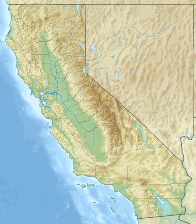 Location of Kettleman Hills in California [1] | |
| Highest point | |
| Elevation | 415 m (1,362 ft) |
| Geography | |
| Country | United States |
| State | California |
| District | Kings County |
| Range coordinates | 36°00′14″N 120°03′26″W / 36.0038°N 120.0571°WCoordinates: 36°00′14″N 120°03′26″W / 36.0038°N 120.0571°W |
| Topo map | USGS La Cima |
The Kettleman Hills is a low mountain range of the interior California Coast Ranges, in western Kings County, California.[1] It is a northwest-southeast trending line of hills about 30 miles long which parallels the San Andreas Fault to the west.
The Kettleman Hills are named (though misspelled) after Dave Kettelman, a pioneer sheep and cattle rancher who grazed his animals there in the 1860s.[2] The hills, which rise to an elevation of approximately 1,200 feet, divide the San Joaquin Valley on the east from the much smaller Kettleman Plain to the west. They are the location of the Kettleman North Dome Oil Field.
The Kettleman Hills Hazardous Waste Facility, a large (1,600 acre/4,000 hectare) hazardous waste and municipal solid waste disposal facility operated by Waste Management, Inc., is located 3.5 mi (5.6 km) southwest of Kettleman City on State Route 41.
External links
- Fossils From The Kettleman Hills, California
- Field Trip To The Kettleman Hills Fossil District, California
References
- 1 2 "Kettleman Hills". Geographic Names Information System. United States Geological Survey. Retrieved 2009-05-04.
- ↑ Brown, Robert R. and Richmond, J.E., History of Kings County, p.123, A.H. Cawston, Hanford, CA, 1940