Keybridge
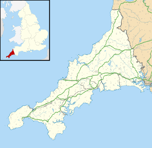
Coordinates: 50°32′06″N 4°42′22″W / 50.535°N 4.706°WKeybridge is a hamlet in the parish of Blisland, Cornwall, England.[1][2] It is named after an old stone bridge across the De Lank River. The bridge is built of granite and dates from the 17th century or earlier; it is a Grade II listed building.[3]
References
Cornwall Portal | |
| Unitary authorities | |
| Major settlements |
|
| Rivers | |
| Topics | |
This article is issued from Wikipedia - version of the 1/20/2016. The text is available under the Creative Commons Attribution/Share Alike but additional terms may apply for the media files.