Khandkhel
| Khandkhel | |
|---|---|
| Town | |
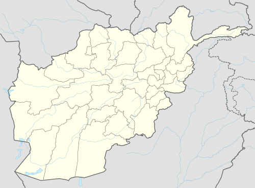 Khandkhel Location | |
| Coordinates: 33°43′00″N 69°21′58″E / 33.7166357°N 69.3660712°ECoordinates: 33°43′00″N 69°21′58″E / 33.7166357°N 69.3660712°E | |
| Country |
|
| Province | Paktia Province |
| District | Sayid Karam District |
| Elevation | 2,513 m (8,245 ft) |
| Time zone | +4:30 |
Khandkhel (Pashto: خڼ خېل) or Khand Khil is a town in the Sayid Karam District of Paktia Province, Afghanistan. It is located 20 km to the northeast of Gardez, the capital of Paktia.
Climate
With a cold and temperate climate, Khandkhel features a cool-summer humid continental climate (Dsb) under the Köppen climate classification. It has cool, dry summers and cold, snowy winters. The average temperature in Khandkhel is 8.6 °C, while the annual precipitation averages 445 mm. September is the driest month with 5 mm of rainfall, while March, the wettest month, has an average precipitation of 89 mm.
July is the warmest month of the year with an average temperature of 20.7 °C. The coldest month January has an average temperature of -5.6 °C.
| Climate data for Khandkhel | |||||||||||||
|---|---|---|---|---|---|---|---|---|---|---|---|---|---|
| Month | Jan | Feb | Mar | Apr | May | Jun | Jul | Aug | Sep | Oct | Nov | Dec | Year |
| Average high °C (°F) | 0.5 (32.9) |
1.8 (35.2) |
8.0 (46.4) |
15.4 (59.7) |
20.3 (68.5) |
26.2 (79.2) |
27.5 (81.5) |
26.9 (80.4) |
23.4 (74.1) |
17.3 (63.1) |
11.0 (51.8) |
4.9 (40.8) |
15.27 (59.47) |
| Daily mean °C (°F) | −5.6 (21.9) |
−4.0 (24.8) |
2.7 (36.9) |
9.3 (48.7) |
13.6 (56.5) |
19.0 (66.2) |
20.7 (69.3) |
19.8 (67.6) |
15.6 (60.1) |
9.7 (49.5) |
4.1 (39.4) |
−1.3 (29.7) |
8.63 (47.55) |
| Average low °C (°F) | −11.7 (10.9) |
−9.8 (14.4) |
−2.5 (27.5) |
3.3 (37.9) |
6.9 (44.4) |
11.8 (53.2) |
13.9 (57) |
12.8 (55) |
7.9 (46.2) |
2.1 (35.8) |
−2.7 (27.1) |
−7.5 (18.5) |
2.04 (35.66) |
| Source: Climate-Data.org[1] | |||||||||||||
References
- ↑ "Climate: Khand Khil - Climate-Data.org". Retrieved 9 September 2016.
This article is issued from Wikipedia - version of the 9/11/2016. The text is available under the Creative Commons Attribution/Share Alike but additional terms may apply for the media files.