Khandud
| Khandud Khandūd Khandut | |
|---|---|
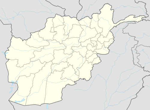 Khandud Location in Afghanistan | |
| Coordinates: 36°56′56″N 72°19′1″E / 36.94889°N 72.31694°ECoordinates: 36°56′56″N 72°19′1″E / 36.94889°N 72.31694°E | |
| Country |
|
| Province | Badakhshan Province |
| District | Wakhan District |
| Elevation[1] | 8,800 ft (2,700 m) |
| Time zone | + 4.30 |
Khandud (Khandut) is a village in Badakhshan Province in north-eastern Afghanistan.[2] It is in Wakhan District, near the left bank of the Panj River.[1]
Historically Khandud was the center of one of the four administrative districts of Wakhan District, which extended from Khandut to Digargand, and the site of an aksakal with authority over the Sad-i-Khandut. The Kafir fort of Zamr-i-Atish Parast lay close by.[1]
Around the turn of the 20th century, it housed around 200 people. There was extensive cultivation, including willow for the purposes of firewood, with excellent grazing. More recently, the town seems to have been renamed Khan Daulat, which is listed as being about 18 miles southwest of Kala Panja.[1]
Khandud is inhabited by Wakhi people. The population of the village (2003) is 1,244.[3]
References
- 1 2 3 4 Adamec, Ludwig W., ed. (1972). Historical and Political Gazeteer of Afghanistan. 1. Graz, Austria: Akadamische Druck-u. Verlangsanstalt. p. 45.
- ↑ "NGA GeoName Database". National Geospatial Intelligence Agency. Archived from the original on 2008-05-22. Retrieved 2008-05-27.
- ↑ United Nations Environment Programme (2003) Wakhan Mission Report