Kharupetia
| Kharupetia খাৰুপেটীয়া | |
|---|---|
| Town | |
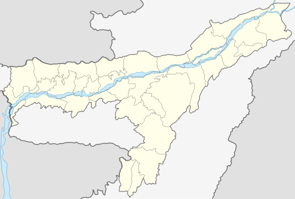 Kharupetia  Kharupetia Location in Assam, India | |
| Coordinates: 26°31′N 92°08′E / 26.52°N 92.13°ECoordinates: 26°31′N 92°08′E / 26.52°N 92.13°E | |
| Country |
|
| State | Assam |
| District | Darrang |
| Government | |
| • Body | Kharupetia Town Committee |
| Elevation | 37 m (121 ft) |
| Population (2001) | |
| • Total | 17,783 |
| Languages | |
| • Official | Assamese |
| Time zone | IST (UTC+5:30) |
| PIN | 784115 |
| Vehicle registration | AS |
| Website |
darrang |
Kharupetia (IPA: ˌkɑːrʊˈpiːtɪə) is a town and a town area committee in Darrang district in the Indian state of Assam. Kharupetia, a fast-developing commercial town Mangaldoi Sub-Division under Darrang District. It is about 17 km from Mangaldoi, the District headquarters and 87 km from Guwahati, the gateway of North East region. It is connected by National Highway 15.
The town exports fresh vegetables, fish and staples across Assam and other parts of India.
Geography
Kharupetia is located at 26°31′N 92°08′E / 26.52°N 92.13°E.Falling Rain Genomics, Inc - Kharupetia It has an average elevation of 37 metres (121 feet).
Tourist spots
- Kali Mandir
- Shiv Mandir
- Satsangha Vihar at Netaji Nagar
- Sri Sri Ramkrishna Sevashram
- Jain Temple, M B Road
- Hanuman Madir, M B Road
- Jama Masque, Main Road
- Hospital Road
Colleges and schools
- Colleges
- Kharupetia College
- Ajmal College of Arts,Commerce and Science
- Schools
- Kharupeita Higher Secondary School
- Saila bala High School
- Kharupetia Girls High School
- Tapoban Bengali School
and there are many numbers of Private English Medium School in Kharupetia town- Morning Star, Luit Valley.
- Nearest Railyway station: Guwahati
- Nearest Police station: Kharupetia
- Nearest Airport: LGBI Airport (Guwahati)
- Hospital: Kharupetia Civil Hospital (thirty bed government hospital)
- Major Festivals: Durga Puja, Eid and Bihu.
Demographics
As of 2001 India census,[1] Kharupetia had a population of 17,784. Males constitute 54% of the population and females 46%. Kharupetia has an average literacy rate of 73%, higher than the national average of 59.5%: male literacy is 78%, and female literacy is 68%. In Kharupetia, 12% of the population is under 6 years of age.
References
- ↑ "Census of India 2001: Data from the 2001 Census, including cities, villages and towns (Provisional)". Census Commission of India. Archived from the original on 2004-06-16. Retrieved 2008-11-01.