Kherali
| Kherali | |
|---|---|
| Village | |
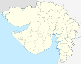 Kherali  Kherali Location in Gujarat, India | |
| Coordinates: 22°41′0″N 71°36′0″E / 22.68333°N 71.60000°ECoordinates: 22°41′0″N 71°36′0″E / 22.68333°N 71.60000°E | |
| Country |
|
| State | Gujarat |
| District | Surendranagar |
| Languages | |
| • Official | Gujarati, Hindi |
| Time zone | IST (UTC+5:30) |
| Vehicle registration | GJ-13 |
| Coastline | 0 kilometres (0 mi) |
| Nearest city | Surendranagar |
| Website |
gujaratindia |
Kherali is a village in Surendranagar district in the Indian state of Gujarat. It comes on the way from Surendranagar to Limli, and this route leads to Muli. It has population close to 6,000-10,000. The village is grown around one abandoned palace. The village has got one big lake and other many wells including one step-well. It has few temples including Swaminarayan temple, Rama temple and one well-built mosque. The village is mostly surrounded by farms. The population mostly depend on farming, and young generation go for jobs and business to Surendranagar and around cities. The main crops are wheat, cotton, ground-nuts, and sesames.
This article is issued from Wikipedia - version of the 10/3/2016. The text is available under the Creative Commons Attribution/Share Alike but additional terms may apply for the media files.