Kheralu
| kheralu | |
|---|---|
| city | |
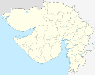 kheralu  kheralu Location in Gujarat, India | |
| Coordinates: 23°53′N 72°37′E / 23.88°N 72.62°ECoordinates: 23°53′N 72°37′E / 23.88°N 72.62°E | |
| Country |
|
| State | Gujarat |
| District | Mehsana |
| Elevation | 149 m (489 ft) |
| Population (2001) | |
| • Total | 20,143 |
| Languages | |
| • Official | Gujarati, Hindi |
| Time zone | IST (UTC+5:30) |
| Vehicle registration | GJ |
| Website |
gujaratindia |
Kheralu is a city and a municipality in Mehsana district in the Indian state of Gujarat. It is a little north of Mahesana Proper town and it is approximately half the size of Mahesana.
Geography
Kheralu is located at 23°53′N 72°37′E / 23.88°N 72.62°E.[1] It has an average elevation of 149 metres (488 feet). It is the second largest town in its district after Mehsana proper town. It used to have a flowing river which dry now .
Demographics
As of 2001 India census,[2] Kheralu had a population of 20,143. Males constitute 52% of the population and females 48%. Kheralu has an average literacy rate of 68%, higher than the national average of 59.5%: male literacy is 76%, and female literacy is 59%. In Kheralu, 13% of the population is under 6 years of age.
References
- ↑ Falling Rain Genomics, Inc - Kheralu
- ↑ "Census of India 2001: Data from the 2001 Census, including cities, villages and towns (Provisional)". Census Commission of India. Archived from the original on 2004-06-16. Retrieved 2008-11-01.