Khirbet ar-Ras al-Ahmar
This article is about the present Palestinian village in Tubas Governorate of the West Bank. For former Palestinian village in Safad Sub-district, see Al-Ras al-Ahmar.
| Khirbet ar-Ras al-Ahmar | |
|---|---|
| Other transcription(s) | |
| • Arabic | خربة الراس الاحمر |
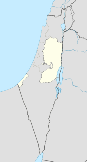 Khirbet ar-Ras al-Ahmar Location of Khirbet ar-Ras al-Ahmar within the Palestinian territories | |
| Coordinates: 32°16′21.2″N 35°29′35.5″E / 32.272556°N 35.493194°ECoordinates: 32°16′21.2″N 35°29′35.5″E / 32.272556°N 35.493194°E | |
| Governorate | Tubas |
| Population (2010) | |
| • Jurisdiction | 195 |
Khirbet ar-Ras al-Ahmar is a small Palestinian village in the Tubas Governorate of the West Bank. The village is located in Area C of the West Bank, and Israel has designated it a closed military zone for weapons training.[1] As of mid-2010, the village had 195 residents.[2]
References
- ↑ McCarthy, Rory (15 June 2009). "Report highlights increasing Israeli demolitions of Palestinian homes". The Guardian. Retrieved 13 February 2014.
- ↑ "Tubas Governorate Statistical Yearbook No. 3" (PDF). Palestinian Central Bureau of Statistics. April 2011. p. 54.
External links
- SWP map 12, IAA
- SWP map 12, Wikimedia commons
- Kh ar Ras al Ahmar Profile, ARIJ
- Kh ar Ras al Ahmar (Fact Sheet), ARIJ
| Cities |
|  |
|---|---|---|
| Municipalities | ||
| Villages |
| |
| Refugee camps | ||
This article is issued from Wikipedia - version of the 12/8/2014. The text is available under the Creative Commons Attribution/Share Alike but additional terms may apply for the media files.