Kilgard, Abbotsford
| Kilgard | |
|---|---|
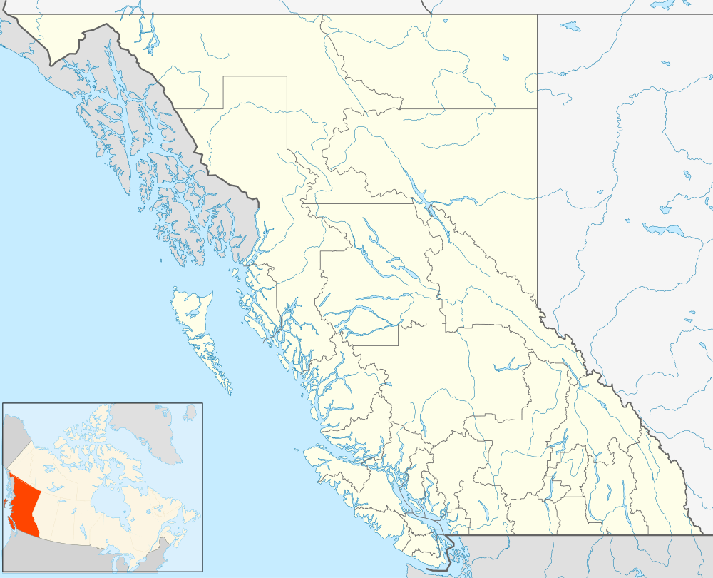
 Kilgard Location of Kilgard in British Columbia | |
| Coordinates: 49°04′00″N 122°12′00″W / 49.06667°N 122.20000°WCoordinates: 49°04′00″N 122°12′00″W / 49.06667°N 122.20000°W | |
| Country |
|
| Province |
|
| Area code(s) | 604, 778 |
Kilgard is a neighbourhood of Abbotsford, British Columbia, Canada, located a few kilometres east of that city's core, on the north side of the Trans-Canada Highway at the foot of Sumas Mountain. [1] The community and its name are connected with a former brickworks at the site, which produced a good quality fire brick; it was a sister community to Clayburn, which is nearby on the northwest side of Sumas Mountain, which also had a clay mine and brickworks. The Upper Sumas 6 Indian Reserve of the Sumas First Nation is located at Kilgard.[2]
See also
References
This article is issued from Wikipedia - version of the 10/14/2016. The text is available under the Creative Commons Attribution/Share Alike but additional terms may apply for the media files.