Kilometer 18, Valle del Cauca
| Kilometer 18 | |
|---|---|
| Town | |
 Kilometer 18 | |
| Coordinates: 3°32′18.34″N 76°36′57.22″W / 3.5384278°N 76.6158944°WCoordinates: 3°32′18.34″N 76°36′57.22″W / 3.5384278°N 76.6158944°W | |
| Country |
|
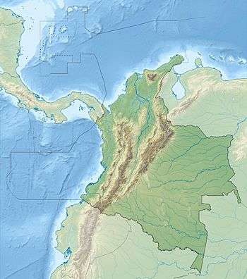
| Department | Valle del Cauca |
| Elevation | 1,800 m (5,900 ft) |
The area called Kilometer 18 is situated in a low pass in the West Andes on the highway between Cali and Buenaventura. It is an area of estates, weekend homes and restaurants. The area is famous for the surviving remnants of cloud forest and birdwatching. It is one of the best locations to observe the endemic multicolored tanager. Roads leading away from the main highway go to El Queremal to the southwest and Dapa to the north.
See also
This article is issued from Wikipedia - version of the 11/9/2015. The text is available under the Creative Commons Attribution/Share Alike but additional terms may apply for the media files.