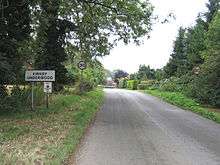
Kirkby Underwood
| Kirkby Underwood | |
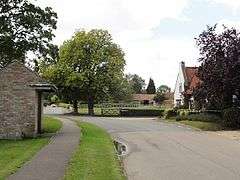 The road junctions in Kirkby Underwood |
|
 Kirkby Underwood |
|
| Population | 200 [1] |
|---|---|
| OS grid reference | TF097240 |
| – London | 90 mi (140 km) S |
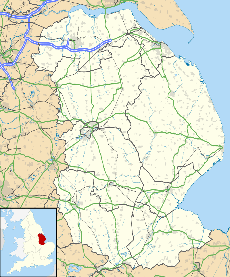
| District | South Kesteven |
| Shire county | Lincolnshire |
| Region | East Midlands |
| Country | England |
| Sovereign state | United Kingdom |
| Post town | BOURNE |
| Postcode district | PE10 |
| Police | Lincolnshire |
| Fire | Lincolnshire |
| Ambulance | East Midlands |
| EU Parliament | East Midlands |
|
|
Coordinates: 52°49′59″N 0°24′29″W / 52.833°N 0.408°W
Kirkby Underwood is a village and civil parish in the South Kesteven district of Lincolnshire, England.[2] The population of the civil parish was 200 at the 2001 census, increasing to 220 at the 2011 census.[3] It is situated 4 miles (6 km) north from Bourne and 1 mile (1.6 km) west from the main A15 trunk road. To the east is Rippingale and the Fens. Directly to the south is the hamlet of Stainfield, and to the west, Hawthorpe.
Kirkby Underwood Grade I listed Anglican church is dedicated to St. Mary and All Saints.[4] In 1885 Kelly's Directory described the church as in Perpendicular style, with chancel, nave and south aisle, and a tower containing three bells. It was in a "very ruinous state". The parish register dated from 1569.[5]
The ecclesiastical parish is part of The Ringstone in Aveland Group of the Deanery of Beltisloe. The incumbent is the Revd David Creasey.[6]
Between the village and Hawthorpe is Callan's Lane Wood, run by the Forestry Commission. Near the wood are two radio masts[7] and a BT microwave transmitter.[8]
References
- ↑ Census 2001; 2001 Census returns. Retrieved 21 April 2012
- ↑ "Parish Council web site". Lincolnshire county council. Retrieved 3 March 2013.
- ↑ "Civil Parish population 2011". Neighbourhood Statistics. Office for National Statistics. Retrieved 21 May 2016.
- ↑ "Church of St. Mary and All Saints, Kirkby Underwood", National Heritage List for England, English Heritage. Retrieved 21 April 2012
- ↑ Kelly's Directory of Lincolnshire with the port of Hull 1885, p. 503
- ↑ "Kirkby Underwood P C C". Diocese of Lincoln. Retrieved 3 March 2013.
- ↑ "Masts near Callan's Lane"; Geograph.org.uk. Retrieved 21 April 2012
- ↑ "Communications mast near Kirkby Underwood"; Geograph.org.uk. Retrieved 21 April 2012
External links
 Media related to Kirkby Underwood at Wikimedia Commons
- "Kirkby Underwood"; Homepages.which.net. Retrieved 21 April 2012
- Kirkby Underwood on the BBC Domesday project
England Portal | |
| Unitary authorities | |
| Boroughs or districts | |
| Major settlements |
|
| Topics | |