Knox County Airport
| Knox County Airport | |||||||||||
|---|---|---|---|---|---|---|---|---|---|---|---|
| IATA: none – ICAO: none – FAA LID: 4I3 | |||||||||||
| Summary | |||||||||||
| Airport type | Public | ||||||||||
| Owner | Knox County Airport Authority | ||||||||||
| Serves | Mount Vernon, Ohio | ||||||||||
| Elevation AMSL | 1,191 ft / 363 m | ||||||||||
| Coordinates | 40°19′44″N 082°31′34″W / 40.32889°N 82.52611°W | ||||||||||
| Map | |||||||||||
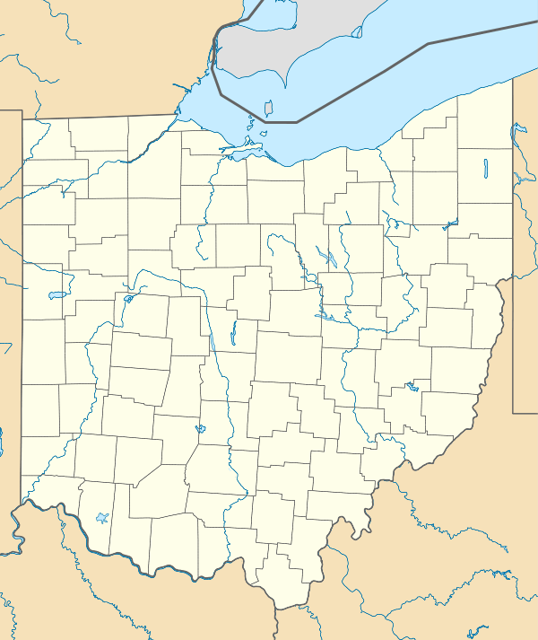 4I3  4I3 Location of airport in Ohio/United States | |||||||||||
| Runways | |||||||||||
| |||||||||||
| Statistics (2007) | |||||||||||
| |||||||||||
Knox County Airport (FAA LID: 4I3) is a public use airport located four nautical miles (7 km) southwest of the central business district of Mount Vernon, a city in Knox County, Ohio, United States. It is owned by Knox County Airport Authority.[1]
Facilities and aircraft
Knox County Airport covers an area of 280 acres (110 ha) at an elevation of 1,191 feet (363 m) above mean sea level. It has one runway designated 10/28 with a 5,500 x 100 ft (1,676 x 30 m) asphalt pavement.[1]
For the 12-month period ending May 9, 2007, the airport had 20,150 aircraft operations, an average of 55 per day: 97% general aviation, 2% air taxi and <1% military. At that time there were 52 aircraft based at this airport: 92% single-engine, 4% multi-engine and 4% ultralight.[1]
References
External links
- FAA Terminal Procedures for 4I3, effective November 10, 2016
- Resources for this airport:
- FAA airport information for 4I3
- AirNav airport information for 4I3
- FlightAware airport information and live flight tracker
- SkyVector aeronautical chart for 4I3