Konganapuram
| Konganapuram | |
|---|---|
| city | |
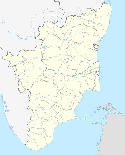 Konganapuram Location in Tamil Nadu, India | |
| Coordinates: 11°35′N 77°55′E / 11.58°N 77.92°ECoordinates: 11°35′N 77°55′E / 11.58°N 77.92°E | |
| Country |
|
| State | Tamil Nadu |
| District | Salem |
| Elevation | 305 m (1,001 ft) |
| Population (2001) | |
| • Total | 8,086 |
| Languages | |
| • Official | Tamil |
| Time zone | IST (UTC+5:30) |
| Vehicle registration | TN-52 |
Konganapuram is a panchayat town in Salem district in the Indian state of Tamil Nadu.
Geography
Konganapuram is located at 11°35′N 77°55′E / 11.58°N 77.92°E.[1] It has an average elevation of 300 metres (1000 feet).
Demographics
As of 2001 India census,[2] Konganapuram had a population of 8086. Males constitute 53% of the population and females 47%. Konganapuram has an average literacy rate of 61%, higher than the national average of 59.5%: male literacy is 71%, and female literacy is 49%. In Konganapuram, 10% of the population is under 6 years of age.
Early history
The name "Konganapuram" appears to have been named due to the dense population of Kongu Vellalar people and is a part of Salem District. Salem and the hilly region around it were part of the Chera and Kongu country in ancient times. Parts of Salem were ruled by their own Kongu Kings who were the Kurunila Mannargal of ancient Tamil Nadu. Konganapuram was ruled by Palaiyakkarar (aka., Poligars), who were later the Zamindars under the British Rule until the system was abolished after independence.
References
- ↑ Falling Rain Genomics, Inc - Konganapuram
- ↑ "Census of India 2001: Data from the 2001 Census, including cities, villages and towns (Provisional)". Census Commission of India. Archived from the original on 2004-06-16. Retrieved 2008-11-01.