Koshlong Lake
| Koshlong Lake | |
| Lake | |
 Koshlong Lake from YMCA Camp Wanakita | |
| Country | Canada |
|---|---|
| Province | Ontario |
| Region | Central Ontario |
| County | Haliburton |
| Municipalities | Highlands East, Dysart et al |
| Part of | Great Lakes Basin |
| Tributaries | |
| - Primary inflows | Koshlong Creek |
| Elevation | 348 m (1,142 ft) |
| Coordinates | 44°58′15″N 78°29′08″W / 44.97083°N 78.48556°WCoordinates: 44°58′15″N 78°29′08″W / 44.97083°N 78.48556°W |
| Primary outflow | Koshlong Creek |
| - coordinates | 44°57′56″N 78°31′27″W / 44.96556°N 78.52417°W |
| Length | 5.7 km (4 mi) |
| Width | 2.0 km (1 mi) |
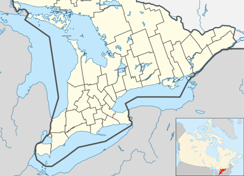 Location of Koshlong Lake in southern Ontario | |
Koshlong Lake is a lake in the municipalities of Highlands East and Dysart et al, Haliburton County in Central Ontario, Canada.[1][2] It is part of the Great Lakes Basin.
Most of the lake is in geographic Glamorgan Township in Highlands East; only the very northwest tip is in geographic Dysart Township in Dysart et al.[3]
The primary inflow, at the east, is Koshlong Creek. The primary outflow is also Koshlong Creek, at the southwest and controlled by a dam, that flows to the Burnt River, which in turn flows via the Kawartha lakes, the Otonabee River and the Trent River to Lake Ontario.
YMCA Camp Wanakita is located on the lake.[4]
References
- ↑ "Koshlong Lake". Geographical Names Data Base. Natural Resources Canada. Retrieved 2012-10-05.
- ↑ "Koshlong Lake". Atlas of Canada. Natural Resources Canada. 2010-02-04. Retrieved 2012-10-05. Shows the area of the lake highlighted on a map.
- ↑ "Glamorgan" (PDF). Geology Ontario - Historic Claim Maps. Ontario Ministry of Northern Development, Mines and Forestry. Retrieved 2012-10-05.
- ↑ "YMCA Wanakita - A Place to Have the Time of Your Life". YMCA of Hamilton Burlington Brantford. Retrieved 2012-10-05.
Other map sources:
- Map 5 (PDF) (Map). 1 : 700,000. Official road map of Ontario. Ministry of Transportation of Ontario. 2012-01-01. Retrieved 2012-10-05.
- Restructured municipalities - Ontario map #5 (Map). Restructuring Maps of Ontario. Ontario Ministry of Municipal Affairs and Housing. 2006. Retrieved 2012-10-05.
This article is issued from Wikipedia - version of the 10/5/2012. The text is available under the Creative Commons Attribution/Share Alike but additional terms may apply for the media files.