Kotlin Island
| Остров Котлин | |
|---|---|
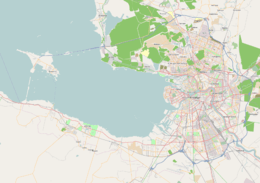 Map of Kronstadt bay with Kotlin Island in the upper left corner | |
 Kotlin Island | |
| Geography | |
| Location | Gulf of Finland |
| Coordinates | 60°00′45″N 29°44′01″E / 60.01250°N 29.73361°ECoordinates: 60°00′45″N 29°44′01″E / 60.01250°N 29.73361°E |
| Area | 15 km2 (5.8 sq mi) |
| Length | 10.2 km (6.34 mi) |
| Width | 3.7 km (2.3 mi)[1] |
| Highest elevation | 17 m (56 ft) |
| Administration | |
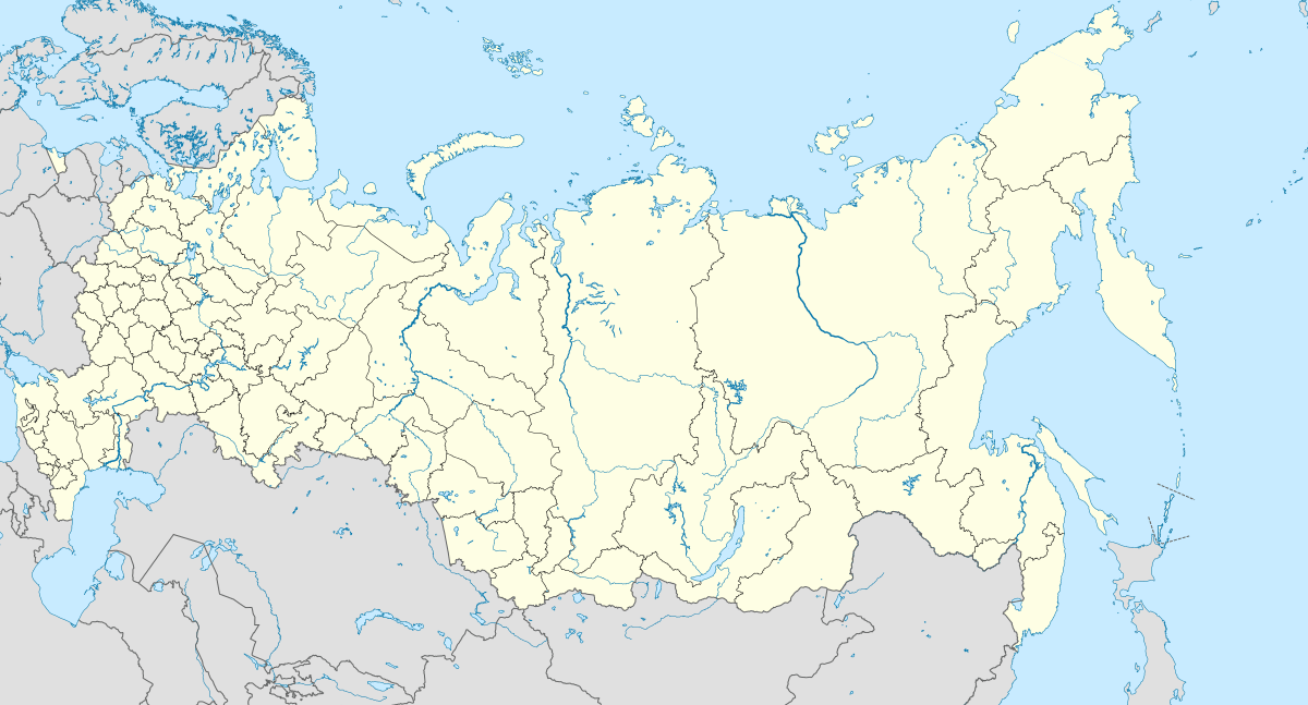
| Region | Saint Petersburg |
| Demographics | |
| Population | 43,005 (2010) |
| Pop. density | 2,867 /km2 (7,425 /sq mi) |
Kotlin (or Kettle; Finnish: Retusaari) is a Russian island, located near the head of the Gulf of Finland, 32 kilometres (20 mi) west of Saint Petersburg in the Baltic Sea. Kotlin separates the Neva Bay from the rest of the gulf. The fortified town of Kronstadt is located on the island. The island serves as a gateway to Saint Petersburg and as such has been the site of several military engagements.
History
The town of Kronstadt was founded by Peter the Great, who took the island of Kotlin from the Swedes in 1703. Kotlin was the site of the Kronstadt rebellion in March 1921 which resulted in over 11,000 casualties.[2][3]
Geography
In general outline, the island forms an elongated triangle, 12.1 km (7.5 mi) in length by about 1.6 km (1.0 mi) in breadth, with its base towards St Petersburg. The eastern or broad end is occupied by the town of Kronstadt, and shoals extend for 2.4 km (1.5 mi) from the western point of the island to the rock on which the Tolbaaken lighthouse is built.
The island thus divides the seaward approach to St Petersburg into two channels; that on the northern side is obstructed by shoals which extend across it from Kotlin to Lisiy Nos; the southern channel, the highway to the former capital, is narrowed by a spit which projects from opposite Lomonosov on the Russian mainland, and, lying close to Kronstadt, has been historically strongly guarded by batteries.
The naval approach to Saint Petersburg was greatly facilitated by the construction in 1875–85 of a canal, 7 m (23 ft) deep, through the shallows, whereas cars can travel overland to the island by using the Saint Petersburg Dam from the north and south shores of the Gulf of Finland. Started in 1980, but delayed by political upheaval in the 1990s, the dam project was completed in 2010 and officially commissioned in 2011.[4]
Pollution
On 15 November 2000 a collision between two ships, a 67 m (220 ft) refrigerator trawler named Nortlandia and a 130 m (430 ft) Panamanian-registered cargo vessel named E.W. McKinley, spilled three tons of diesel fuel into the water off Kotlin Island. The smaller ship also sank as a result of the collision after sustaining hull damage, and two crew members required treatment for hypothermia. The fuel slick covered 11 km2 (4.2 sq mi) of Kronstadt harbor. By that afternoon, divers had plugged the hole to prevent further leakage, and remediation efforts to contain and remove the spill were underway.[5]
References
- ↑ Google Earth
- ↑ Pukhov, A. S. Kronshtadtskii miatezh v 1921 g. Leningrad, OGIZ-Molodaia Gvardiia.
- ↑ Orlando Figes, A People's Tragedy: The Russian Revolution 1891-1924 (New York: Viking Press 1997), 767.
- ↑ "St. Petersburg gets protecting dam". Voice of Russia. 12 August 2011. Retrieved 14 August 2011.
- ↑ Titova, Irina. "Kronshtadt Collision Sinks Ship", The St. Petersburg Times, published November 17, 2000, accessed March 11, 2007.
 This article incorporates text from a publication now in the public domain: Chisholm, Hugh, ed. (1911). "article name needed". Encyclopædia Britannica (11th ed.). Cambridge University Press.
| East half ring |
| .JPG)  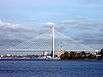 |
|---|---|---|
| West half ring |
| |