Kramer Hills
For the unincorporated community nearby, see Kramer Hills, California.
| Kramer Hills | |
|---|---|
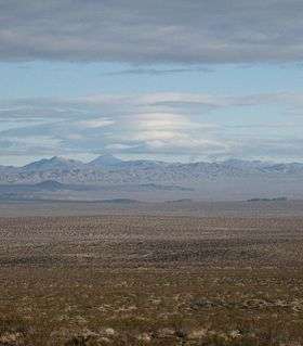 Lenticular clouds above Kramer Hills | |
| Highest point | |
| Elevation | 3,346 ft (1,020 m) |
| Geography | |
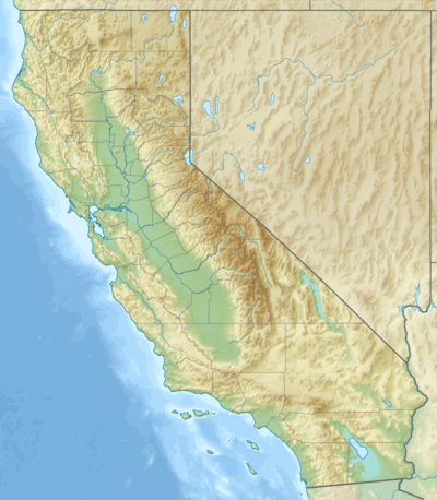 Location of Kramer Hills in California[1] | |
| Country | United States |
| State | California |
| Region | Mojave Desert |
| District | San Bernardino County |
| Range coordinates | 34°53′49″N 117°30′33″W / 34.8969°N 117.5092°WCoordinates: 34°53′49″N 117°30′33″W / 34.8969°N 117.5092°W |
| Topo map | USGS Kramer Junction |
The Kramer Hills are a small range of hills in the Mojave Desert, in northwestern San Bernardino County, southern California.[1]
They are located just south of Kramer Junction and southeast of Boron.
The Kramer Hills are bisected by U.S. Route 395 passing through them. They are in a Bureau of Land Management administered area.
References
- 1 2 "Kramer Hills". Geographic Names Information System. United States Geological Survey. Retrieved 2009-05-04.
This article is issued from Wikipedia - version of the 1/13/2016. The text is available under the Creative Commons Attribution/Share Alike but additional terms may apply for the media files.