Léboka Airport
| Léboka Airport | |||||||||||
|---|---|---|---|---|---|---|---|---|---|---|---|
| IATA: none – ICAO: none | |||||||||||
| Summary | |||||||||||
| Airport type | Public | ||||||||||
| Serves | Mounana | ||||||||||
| Elevation AMSL | 1,985 ft / 605 m | ||||||||||
| Coordinates | 1°22′15″S 13°12′00″E / 1.37083°S 13.20000°ECoordinates: 1°22′15″S 13°12′00″E / 1.37083°S 13.20000°E | ||||||||||
| Map | |||||||||||
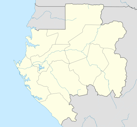 Léboka Location in Gabon | |||||||||||
| Runways | |||||||||||
| |||||||||||
Léboka Airport is an airstrip serving the town of Mounana in Haut-Ogooué Province, Gabon. The runway is on a wooded mesa 4.5 kilometres (2.8 mi) east of the town.[3]
Local code for the airstrip is FO12.[1]
See also
 Gabon portal
 Aviation portal
- List of airports in Gabon
- Transport in Gabon
References
External links
This article is issued from Wikipedia - version of the 12/5/2016. The text is available under the Creative Commons Attribution/Share Alike but additional terms may apply for the media files.