Løkta
 View of the island | |
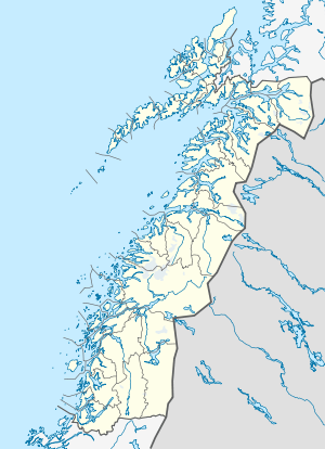 Løkta Location in Nordland | |
| Geography | |
|---|---|
| Location | Nordland, Norway |
| Coordinates | 66°09′51″N 12°41′37″E / 66.1641°N 12.6935°ECoordinates: 66°09′51″N 12°41′37″E / 66.1641°N 12.6935°E |
| Area | 17.4 km2 (6.7 sq mi) |
| Length | 6 km (3.7 mi) |
| Width | 5 km (3.1 mi) |
| Highest elevation | 238 m (781 ft) |
| Highest point | Sandåkerfjellet |
| Administration | |
| County | Nordland |
| Municipality | Dønna |
Løkta is an island in the municipality of Dønna in Nordland county, Norway. The 17.4-square-kilometre (6.7 sq mi) island is located between the islands of Dønna and Hugla, at the entrance to the Ranfjorden. The village of Sandåker is located on the southern part of the island, just west of the 238-metre (781 ft) tall Sandåkerfjellet. Løkta Church is located on the island. Historically, the western part of the island was a part of Dønnes and the eastern part belonged to Nesna, but in 1962 all of the island became a part of Dønna.[1]
See also
References
- ↑ Store norske leksikon. "Løkta" (in Norwegian). Retrieved 2012-01-17.
This article is issued from Wikipedia - version of the 11/28/2016. The text is available under the Creative Commons Attribution/Share Alike but additional terms may apply for the media files.