La Esperanza Airport, Colón
| La Esperanza Airport | |||||||||||
|---|---|---|---|---|---|---|---|---|---|---|---|
| IATA: none – ICAO: MHEZ | |||||||||||
| Summary | |||||||||||
| Airport type | Public | ||||||||||
| Elevation AMSL | 160 ft / 49 m | ||||||||||
| Coordinates | 15°36′35″N 86°08′20″W / 15.60972°N 86.13889°WCoordinates: 15°36′35″N 86°08′20″W / 15.60972°N 86.13889°W | ||||||||||
| Map | |||||||||||
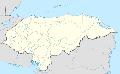 MHEZ Location of the airport in Honduras | |||||||||||
| Runways | |||||||||||
| |||||||||||
|
Sources: Google Maps[1] | |||||||||||
La Esperanza Airport (ICAO: MHEZ) is an airport serving a number of villages and towns in western Colón Department, Honduras. The largest nearby towns are Sonaguera (13 km) and Sabá (17 km).
See also
![]() Aviation portal
Aviation portal
References
External links
- HERE Maps - La Esperanza
- OpenStreetMaps - La Esperanza
- OurAirports - La Esperanza
- Skyvector Aeronautical Charts - La Esperanza
This article is issued from Wikipedia - version of the 12/5/2016. The text is available under the Creative Commons Attribution/Share Alike but additional terms may apply for the media files.