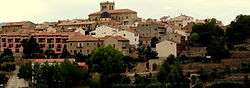
La Puebla de Valverde
| La Puebla de Valverde | |
|---|---|
| Municipality | |
 | |
 | |
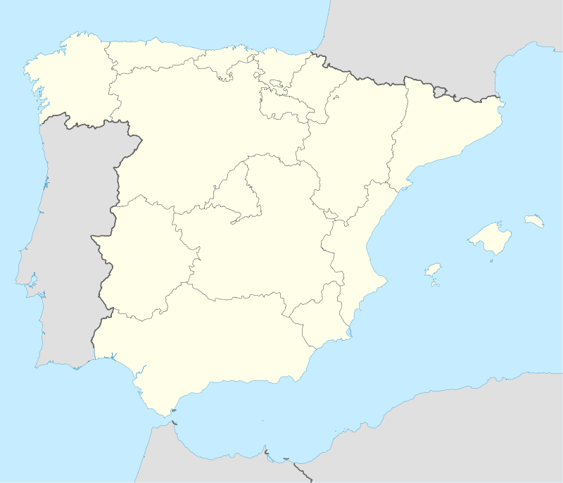 La Puebla de Valverde Location in Spain | |
| Coordinates: 40°13′N 0°55′W / 40.217°N 0.917°WCoordinates: 40°13′N 0°55′W / 40.217°N 0.917°W | |
| Country |
|
| Autonomous community |
|
| Province | Teruel |
| Comarca | Gúdar-Javalambre |
| Judicial district | Teruel |
| Government | |
| • Alcaldesa | María Luisa Fuertes Alegría (2007) |
| Area | |
| • Total | 282.78 km2 (109.18 sq mi) |
| Elevation | 1,183 m (3,881 ft) |
| Population (2015) | |
| • Total | 500 |
| • Density | 1.8/km2 (4.6/sq mi) |
| Demonym(s) | Pueblano, -a |
| Time zone | CET (UTC+1) |
| • Summer (DST) | CEST (UTC+2) |
| Postal code | 44450 |
La Puebla de Valverde is a municipality located in the province of Teruel, Aragon, Spain. According to the 2004 census (INE), the municipality had a population of 508 inhabitants.
This town is located at the feet of the Sierra de Camarena, Sistema Ibérico.
External links
This article is issued from Wikipedia - version of the 8/29/2016. The text is available under the Creative Commons Attribution/Share Alike but additional terms may apply for the media files.