La Ronge (Barber Field) Airport
| La Ronge (Barber Field) Airport | |||||||||||||||
|---|---|---|---|---|---|---|---|---|---|---|---|---|---|---|---|
_Airport.JPG) | |||||||||||||||
|
IATA: YVC – ICAO: CYVC – WMO: 71922 | |||||||||||||||
| Summary | |||||||||||||||
| Airport type | Public | ||||||||||||||
| Operator | Town of La Ronge | ||||||||||||||
| Location | La Ronge, Saskatchewan | ||||||||||||||
| Time zone | CST (UTC−06:00) | ||||||||||||||
| Elevation AMSL | 1,244 ft / 379 m | ||||||||||||||
| Coordinates | 55°09′05″N 105°16′01″W / 55.15139°N 105.26694°WCoordinates: 55°09′05″N 105°16′01″W / 55.15139°N 105.26694°W | ||||||||||||||
| Map | |||||||||||||||
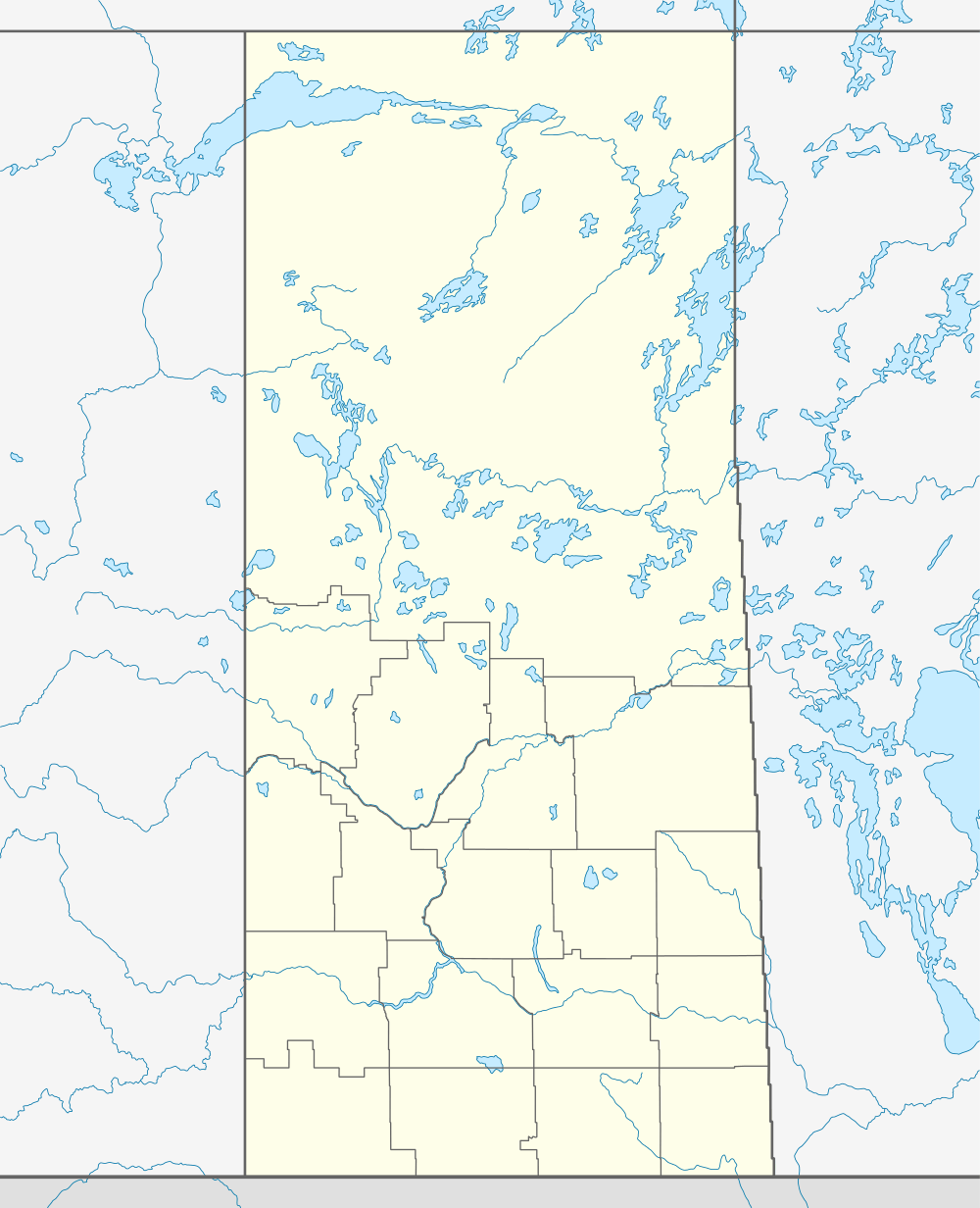 CYVC  CYVC Location in Saskatchewan | |||||||||||||||
| Runways | |||||||||||||||
| |||||||||||||||
| Statistics (2010) | |||||||||||||||
| |||||||||||||||
La Ronge (Barber Field) Airport, (IATA: YVC, ICAO: CYVC), is located 2 nautical miles (3.7 km; 2.3 mi) northeast of La Ronge, Saskatchewan, Canada.
Airlines and destinations
| Airlines | Destinations |
|---|---|
| Transwest Air | Fond du Lac, Points North, Prince Albert, Regina, Saskatoon, Stony Rapids, Wollaston Lake |
See also
References
- ↑ Canada Flight Supplement. Effective 0901Z 15 September 2016 to 0901Z 10 November 2016
- ↑ Synoptic/Metstat Station Information
- ↑ Total aircraft movements by class of operation — NAV CANADA flight service stations
External links
- Past three hours METARs, SPECI and current TAFs for La Ronge (Barber Field) Airport from Nav Canada as available.
| By name | |
|---|---|
| By location indicator | |
| By province/territory | |
| By region | |
| National Airports System | |
| Related | |
| |
This article is issued from Wikipedia - version of the 12/4/2016. The text is available under the Creative Commons Attribution/Share Alike but additional terms may apply for the media files.