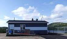
La Tabatière Airport
| La Tabatière Airport | |||||||||||
|---|---|---|---|---|---|---|---|---|---|---|---|
 | |||||||||||
| IATA: ZLT – ICAO: none – TC LID: CTU5 | |||||||||||
| Summary | |||||||||||
| Airport type | Public | ||||||||||
| Operator | Transports Québec | ||||||||||
| Location | La Tabatière, Quebec | ||||||||||
| Time zone | AST (UTC−04:00) | ||||||||||
| Elevation AMSL | 102 ft / 31 m | ||||||||||
| Coordinates | 50°49′51″N 058°58′32″W / 50.83083°N 58.97556°WCoordinates: 50°49′51″N 058°58′32″W / 50.83083°N 58.97556°W | ||||||||||
| Map | |||||||||||
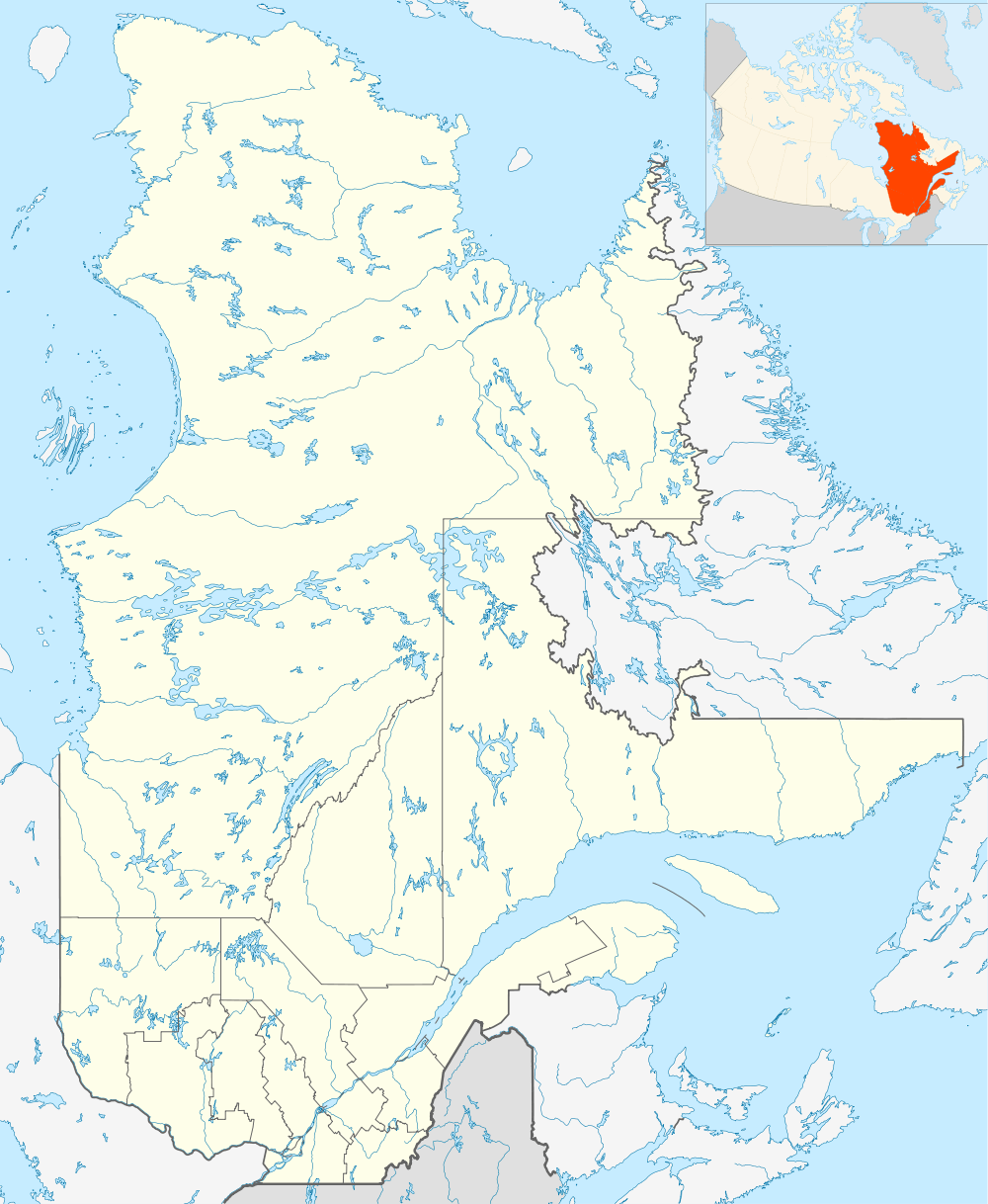 CTU5 Location in Quebec | |||||||||||
| Runways | |||||||||||
| |||||||||||
|
Source: Canada Flight Supplement[1] | |||||||||||
La Tabatière Airport, (IATA: ZLT, TC LID: CTU5), is an airport at La Tabatière, Quebec, Canada.
Airlines and destinations
| Airlines | Destinations |
|---|---|
| Air Labrador | Blanc-Sablon, Chevery, Kegaska, La Romaine, Natashquan, Saint-Augustin, Tête-à-la-Baleine[2] |
References
- ↑ Canada Flight Supplement. Effective 0901Z 15 September 2016 to 0901Z 10 November 2016
- ↑ Destinations: Air Labrador
External links
| By name | |
|---|---|
| By location indicator | |
| By province/territory | |
| By region | |
| National Airports System | |
| Related | |
| |
This article is issued from Wikipedia - version of the 12/4/2016. The text is available under the Creative Commons Attribution/Share Alike but additional terms may apply for the media files.