Lac la Biche (Alberta)
| Lac la Biche | |
|---|---|
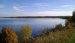 The southern shore from Lac La Biche | |
| Location | Lac La Biche County, Alberta |
| Coordinates | 54°51′23″N 112°03′32″W / 54.85639°N 112.05889°WCoordinates: 54°51′23″N 112°03′32″W / 54.85639°N 112.05889°W |
| Primary inflows | Owl River |
| Primary outflows | La Biche River |
| Basin countries | Canada |
| Max. length | 20.7 km (12.9 mi) |
| Max. width | 29.3 km (18.2 mi) |
| Surface area | 234 km2 (90 sq mi) |
| Average depth | 8.4 m (28 ft) |
| Max. depth | 21.3 m (70 ft) |
| Settlements | Lac La Biche, Plamondon, Barnegat, Owl River |
Lac la Biche /ˌlæk lə ˈbɪʃ/ is a large lake in north-central Alberta, Canada. It is located along the Northern Woods and Water Route, 95 km east of Athabasca.
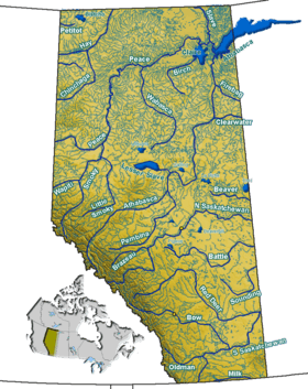
Lac la Biche has a total area of 236 km2 (91 sq mi),[1] including 3.2 km2 (1.2 sq mi) islands area. Owl River flows into the lake, and its waters are drained through the La Biche River and into the Athabasca River, placing it in the basin that flows to the Arctic Ocean. Just to the south is Beaver Lake which drains into Hudson Bay.
Sir Winston Churchill Provincial Park is located on an island of the lake. The town of Lac La Biche is located on the southern shore of the lake. The communities of Plamondon, Barnegat and Owl River are also located around Lac la Biche.
Since the lake and town share the same name (except for one capital letter), locals often (redundantly) refer to the lake as "Lac la Biche Lake" to distinguish it from the town.
References
- ↑ World Lakes Database - Lac la Biche