Laindon
Coordinates: 51°34′26″N 0°25′05″E / 51.574°N 0.4181°E
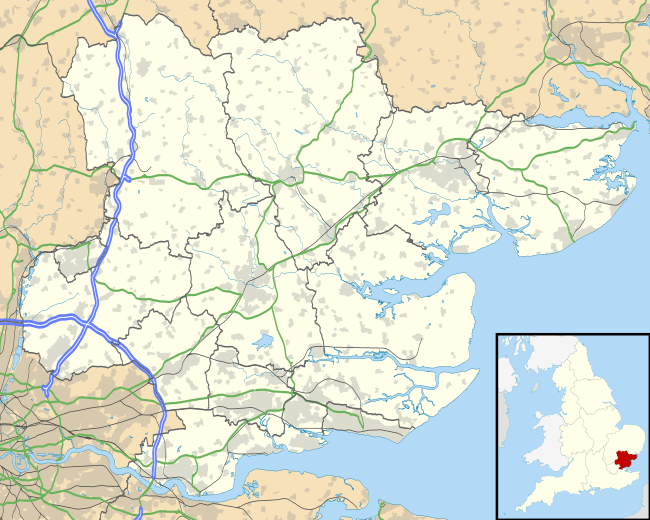
Laindon is an Ancient Parish in Essex, England. It was based on the (probably smaller) Manor of the same name and now lies mostly within the urban area of Basildon.
The Parish incorporated a finger of land that reached north into the neighbouring parish of Great Burstead to include Laindon Common and the once larger and adjacent Frith Wood which the Lord of the Manor, the Bishop of London emparked around the year 1260. This finger of land may have been the territory of Well Street Manor, which was mentioned in the Domesday Book.
It is north of Laindon railway station on the London, Tilbury and Southend Railway. South of the railway station and line is Langdon Hills. Laindon and Langdon Hills are part of the Basildon post town.[1] To the south-west of Laindon, the Dunton Plotlands was an area of small plots of land used as weekend cottages or smallholdings during the mid twentieth century.
Until its abolition in 1937, there was a Laindon parish. It incorporated 412 residents around 4,680 acres (18.9 km2), in 1831.[2] Three detachments of the parish were removed in 1880 and 1889, lowering the area to 2,049 acres (8.29 km2). In 1931, it had a population of 4,552. It later merged into the Basildon district, where it remains part of today.
The district known as Laindon West was never part of the parish of Laindon but part of the parish of Dunton which was itself abolished in 1934.[3]
Notable people
- Edgar Longstaffe (1852–1933), landscape painter
- Joan Sims (1930–2001), actress
References
- ↑ Royal Mail, Address Management Guide, (2004)
- ↑ Vision of Britain - Laindon parish (historic map)
- ↑ http://www.visionofbritain.org.uk/unit/10239011/boundary