Lake Hindmarsh
| Lake Hindmarsh | |
|---|---|
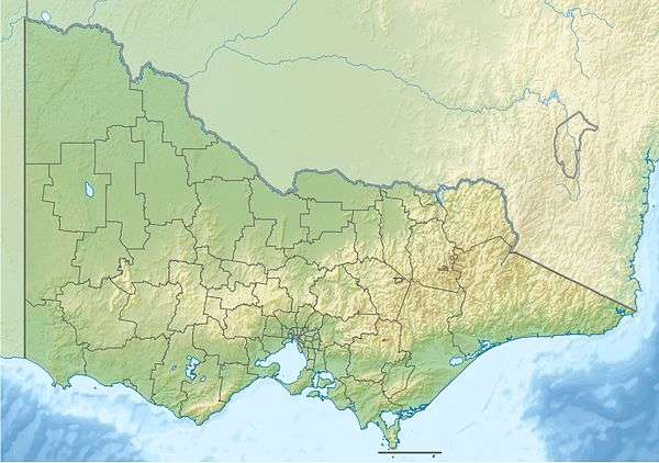 Lake Hindmarsh Location in Victoria | |
| Location | Wimmera, Victoria |
| Coordinates | 36°03′41″S 141°54′47″E / 36.06139°S 141.91306°ECoordinates: 36°03′41″S 141°54′47″E / 36.06139°S 141.91306°E[1] |
| Type | Eutrophic |
| Primary inflows | Wimmera River |
| Primary outflows | Outlet Creek (When full), evaporation |
| Catchment area | 23,500 km2 (9,100 sq mi) |
| Basin countries | Australia |
| Max. length | 22 km (14 mi) |
| Max. width | 7 km (4.3 mi) |
| Surface area | 135 km2 (52 sq mi) |
| Average depth | 3.4 m (11 ft) |
| Max. depth | 3.65 m (12.0 ft) |
| Water volume | 378 GL (8.3×10¹⁰ imp gal; 1.00×10¹¹ US gal) |
Lake Hindmarsh, an eutrophic lake located in the Wimmera region of western Victoria, Australia, is the state’s largest natural freshwater lake. The nearest towns are Jeparit to the south and Rainbow to the north. After more than a decade of drought, in early 2011 the lake filled as a result of flooding in the region.
History
The area around the lake is the traditional country of the Gromiluk, a branch of the Wotjobaluk people.[2] Explorer Edward Eyre camped at Lake Hindmarsh in 1838 while searching for an overland route from Melbourne to Adelaide[3] and named the lake after the then governor of South Australia, John Hindmarsh.[4] European pastoralists occupied land around the lake from 1845, and in 1859 the Moravian Ebenezer Mission was established nearby.
Geography
Lake Hindmarsh is the southernmost lake of the Wimmera River Terminal Wetlands, and receives water directly from the Wimmera River. When full, the lake covers 13,500 hectares (33,000 acres), is 3.4 metres (11 ft) deep and holds 378 gigalitres (8.3×10¹⁰ imp gal; 1.00×10¹¹ US gal) of water.[5] It is a wetland of national significance. On the rare occasions when Lake Hindmarsh overflows, water runs, via Outlet Creek, to the deeper Lake Albacutya, which has been recognised under the Ramsar Convention as a wetland of international importance.[6]
Flat and shallow, Lake Hindmarsh is subject to very high evaporation. When it is full, evaporation from the lake is around 140,000 megalitres (3.1×10¹⁰ imp gal; 3.7×10¹⁰ US gal) per year. With flows down the Wimmera River averaging only half of that, the lake rarely fills, although if it does so, the water takes three to four years to evaporate entirely.
The lake was full during the wet years of the early to mid-1970s. It supported a commercial fishing industry and was a destination for tourism and water sports, with a water-skiing club having a membership of over 100. The lake filled again in 1996, but then received no further water from the Wimmera River, and had dried up by 2000. It remained dry for almost a decade.
In October 2009, water from the Wimmera River trickled into Lake Hindmarsh for the first time in thirteen years.[7] The 2010 Victorian floods of September raised lake water levels higher and triggered a revival of birdlife.[8] The January 2011 Victorian floods in the Wimmera catchment raised hopes that the lake would fill, and possibly overflow into the lakes to the north.[9] However, Outlet Creek remained dry.
See also
References
- ↑ "Lake Hindmarsh (entry 3581)". VICNAMES. Government of Victoria. Retrieved 4 June 2014.
- ↑ Australian Dictionary of Biography Retrieved 2012-02-29.
- ↑ Australian Dictionary of Biography Retrieved 2012-02-29.
- ↑ Bull, John Wrathall (1884). Early Experiences of Life in South Australia (2nd ed.). Adelaide: E.S. Wigg & Son. Retrieved 3 March 2016.
- ↑ Murray-Darling Basin Authority Archived from the original 2012-02-29.
- ↑ "Significant wetlands: Lake Albacutya". Department of Environment and Primary Industries. Government of Victoria. 22 January 2014. Retrieved 4 June 2014.
- ↑ Ker, Peter (2009-10-09). "Meet Lake Hindmarsh, back from the dead". The Age. Retrieved 2016-09-20.
- ↑ Ker, Peter (2010-09-18). "At Lake Hindmarsh there's an ecological revolution under way". The Age. Retrieved 2016-09-20.
- ↑ Ker, Peter (2011-01-25). "Parched lake may end 15-year dry". The Age. Retrieved 2016-09-20.
| |||||||||||||||||||||||||||||
| |||||||||||||||||||||||||||||
| |||||||||||||||||||||||||||||
| |
|