Lake of Bays River
| Lake of Bays River | |
| Country | Canada |
|---|---|
| Province | Ontario |
| Region | Northwestern Ontario |
| District | Kenora |
| Part of | Nelson River drainage basin |
| Source | Unnamed lake |
| - elevation | 450 m (1,476 ft) |
| - coordinates | 48°16′50″N 79°42′03″W / 48.28056°N 79.70083°W |
| Mouth | Conver Lake, on the Sturgeon River |
| - elevation | 375 m (1,230 ft) |
| - coordinates | 50°06′54″N 91°10′32″W / 50.11500°N 91.17556°WCoordinates: 50°06′54″N 91°10′32″W / 50.11500°N 91.17556°W |
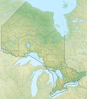 Location of the mouth of the Lake of Bays River in Ontario | |
The Lake of Bays River is a river in Kenora District in Northwestern Ontario, Canada.[1] It is in the Hudson Bay drainage basin and is a left tributary of the Sturgeon River.
Course
The river begins at an unnamed lake just west of Ontario Highway 599 and just west of the border with Thunder Bay District. It heads north, then west through Rome Lake, Gibraltar Lake, Malta Lake and Handcuff Lake to the Lake of Bays, where it takes in the left tributaries Dominion River and Bays River. It then heads north, and reaches its mouth at Conver Lake on the Sturgeon River. The Sturgeon River flows via the Marchington River, English River, Winnipeg River, and Nelson River to Hudson Bay.
Tributaries
- Lake of Bays
- Dominion River (left)
- Bays River (left)
See also
References
- ↑ "Lake of Bays River". Geographical Names Data Base. Natural Resources Canada. Retrieved 2014-06-03.
Other map sources:
- Map 13 (PDF) (Map). 1 : 1,600,000. Official road map of Ontario. Ministry of Transportation of Ontario. 2014. Retrieved 2014-06-03.
This article is issued from Wikipedia - version of the 7/10/2015. The text is available under the Creative Commons Attribution/Share Alike but additional terms may apply for the media files.