Landsborough Tree
| Landsborough Tree | |
|---|---|
|
Landsborough Tree (before it was burned down) | |
| Location | Burketown, Shire of Burke, Queensland, Australia |
| Coordinates | 17°44′21″S 139°33′53″E / 17.7391°S 139.5648°ECoordinates: 17°44′21″S 139°33′53″E / 17.7391°S 139.5648°E |
| Official name: Landsborough Tree | |
| Type | state heritage (landscape) |
| Designated | 21 August 1992 |
| Reference no. | 600374 |
| Significant period | 1862-2002 |
 Location of Landsborough Tree in Queensland 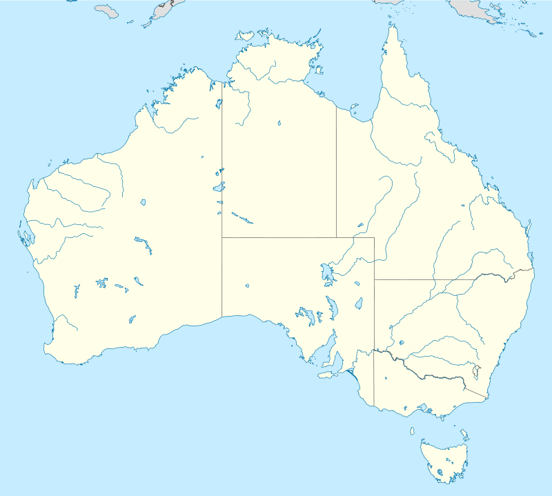 Location of Landsborough Tree in Queensland | |
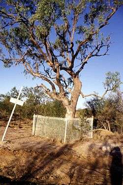
Landsborough Tree is a heritage-listed tree at Burketown, Shire of Burke, Queensland, Australia. It was added to the Queensland Heritage Register on 21 August 1992.[1]
History
The Landsborough Tree marks the site by the Albert River where explorer William Landsborough established a depot camp while searching for the missing Burke and Wills expedition in 1862.[2] He buried supplies near the eucalypt tree in case the explorers should come up upon it; he carved the word "Dig" into the tree.[3]
The brig Firefly used in the search was abandoned nearby on the riverbank.[2]
In December 2002, vandals set the tree alight, causing the trunk to fall over.[3] In 2007, it was described as "nothing but a small charred stump", but by June 2009 there was a sapling "replanted" alongside the dead tree to replace it.[4]
References
.jpg)
- ↑ "Landsborough Tree (entry 600374)". Queensland Heritage Register. Queensland Heritage Council. Retrieved 1 August 2014.
- 1 2 "Burketown: a Matilda byway". Travel Action Matilda Country Magazine. Retrieved 11 July 2016.
- 1 2 "Fury over burnt explorer's landmark". Sydney Morning Herald. 24 December 2002. Retrieved 11 July 2016.
- ↑ Martin, Richard J (September 2013), "'Reading' the Leichhardt, Landsborough and Gregory explorer trees of northern Australia", Cultural Studies Review, 19 (2): 216–236, ISSN 1446-8123
Attribution
![]() This Wikipedia article was originally based on "The Queensland heritage register" published by the State of Queensland under CC-BY 3.0 AU licence (accessed on 7 July 2014, archived on 8 October 2014). The geo-coordinates were originally computed from the "Queensland heritage register boundaries" published by the State of Queensland under CC-BY 3.0 AU licence (accessed on 5 September 2014, archived on 15 October 2014).
This Wikipedia article was originally based on "The Queensland heritage register" published by the State of Queensland under CC-BY 3.0 AU licence (accessed on 7 July 2014, archived on 8 October 2014). The geo-coordinates were originally computed from the "Queensland heritage register boundaries" published by the State of Queensland under CC-BY 3.0 AU licence (accessed on 5 September 2014, archived on 15 October 2014).
External links
![]() Media related to Landsborough Tree at Wikimedia Commons
Media related to Landsborough Tree at Wikimedia Commons