Langenes, Nordland
| Langenes herred | |
|---|---|
| Former Municipality | |
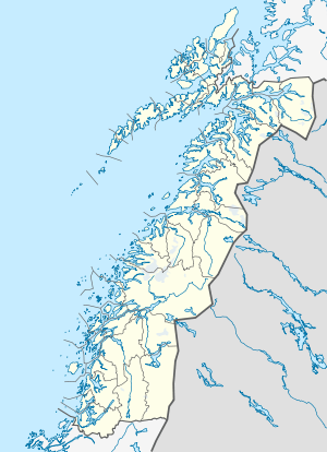 Langenes Location in Nordland | |
| Coordinates: 69°01′07″N 15°09′21″E / 69.01861°N 15.15583°ECoordinates: 69°01′07″N 15°09′21″E / 69.01861°N 15.15583°E | |
| Country | Norway |
| Region | Northern Norway |
| County | Nordland |
| District | Vesterålen |
| Municipality ID | NO-1869 |
| Area[1] | |
| • Total | 103 km2 (40 sq mi) |
| Time zone | CET (UTC+01:00) |
| • Summer (DST) | CEST (UTC+02:00) |
| Created from | Øksnes in 1919 |
| Merged into | Øksnes in 1964 |
Langenes is a former municipality in Nordland county, Norway. The municipality encompassed the western shore of the Gavlfjorden in the present-day municipality of Øksnes. It is located on the large island of Langøya in the Vesterålen archipelago. The administrative centre was in the village of Stø, just east of the Langenes Church in the northern part of the municipality.[1]
History
On 1 July 1919, the northern/eastern part of the municipality of Øksnes was splif off from Øksnes to form the new municipality of Langenes. Initially, Langenes had a population of 1,085. On 1 January 1963, the Holm area along the Gavlfjorden (population: 65) was transferred from Langenes to Sortland municipality. On 1 January 1964, the rest of Langenes (population: 2,037) was merged back together with Øksnes. Prior to the merger, Langenes had 2,037 residents.[2]
References
- 1 2 Store norske leksikon. "Langenes" (in Norwegian). Retrieved 2012-08-01.
- ↑ Jukvam, Dag (1999). "Historisk oversikt over endringer i kommune- og fylkesinndelingen" (PDF) (in Norwegian). Statistisk sentralbyrå.