Langset (Saltdal)
This article is about the village in Nordland county. For the village in Akershus county, see Langset.
| Langset | |
|---|---|
| Village | |
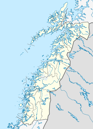 Langset  Langset Location in Nordland | |
| Coordinates: 67°08′12″N 15°27′06″E / 67.13667°N 15.45167°ECoordinates: 67°08′12″N 15°27′06″E / 67.13667°N 15.45167°E | |
| Country | Norway |
| Region | Northern Norway |
| County | Nordland |
| District | Salten |
| Municipality | Saltdal |
| Elevation[1] | 44 m (144 ft) |
| Time zone | CET (UTC+01:00) |
| • Summer (DST) | CEST (UTC+02:00) |
| Post Code | 8250 Rognan |
Langset (Lule Sami: Laŋsæhtta)[1] is a basic statistical unit in the sub-area of Nedre Saltdal ('Lower Saltdal') in the municipality of Saltdal in Nordland county, Norway. The area is located north of Rognan and Saksenvik and south of Setså on the east side of Saltdal Fjord (Saltdalsfjorden). European route E6 and the Nordland Line pass through the area.[2][3]
During the Second World War the Blood Road was built through the area.[4] It was constructed as a new segment of Norwegian National Road 50 between Rognan and Langset, where there was ferry service before the war.[3]
References
- 1 2 "Langset, Saltdal (Nordland)" (in Norwegian). yr.no. Retrieved November 22, 2016.
- ↑ Andreassen, Tore John. 2016. Regn med ventetid på E6. an.no (April 12).
- 1 2 Det Norske naeringsliv 17 (1954): 357.
- ↑ Veum, Eirik, et al. 2008. Norge bryter Genevekonvensjonene. NRK (June 14).
This article is issued from Wikipedia - version of the 11/23/2016. The text is available under the Creative Commons Attribution/Share Alike but additional terms may apply for the media files.