Le Grand Bridge (1896)
|
Le Grand Bridge | |
  | |
| Location | Abbot Ave. over the Iowa River |
|---|---|
| Nearest city | Le Grand, Iowa |
| Coordinates | 42°1′54″N 92°45′58″W / 42.03167°N 92.76611°WCoordinates: 42°1′54″N 92°45′58″W / 42.03167°N 92.76611°W |
| Area | less than one acre |
| Built | 1896 |
| Architect | Marshalltown Bridge and Iron Works |
| Architectural style | pinned Pratt through truss |
| MPS | Highway Bridges of Iowa MPS |
| NRHP Reference # | 98000481[1] |
| Added to NRHP | May 15, 1998 |
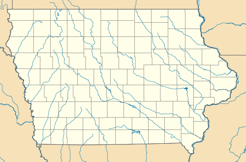
The Le Grand Bridge was located north of Le Grand, Iowa, United States. It spanned the Iowa River for 242 feet (74 m),[2] carrying traffic on a gravel road named Abbot Avenue. Since Abbott Avenue is the border between Marshall and Tama Counties, the bridge is in two counties lengthwise. Many bridges span from one county across to another, but few are lengthwise split. It necessitated a joint session of the two county's Board of Supervisors on June 29, 1896 to approve the project. The pinned Pratt through truss bridge was built in 1896 by the Marshalltown Bridge and Iron Works for $3,548.[2] It was listed on the National Register of Historic Places in 1998.[1] The bridge collapsed in the Iowa flood of 2008.[3]
See also
See also Le Grand Bridge (1914), over the same Iowa River backwater, wholly in Marshall County, nearby, also NRHP-listed.
References
- 1 2 National Park Service (2009-03-13). "National Register Information System". National Register of Historic Places. National Park Service.
- 1 2 Clayton B. Fraser. "Le Grand Bridge" (PDF). National Park Service. Retrieved 2016-03-01. with photos
- ↑ "Historic Bridges of Iowa: Le Grand Bridge". Iowa Department of Transportation. Retrieved 2016-03-03.
| Buckingham Township | 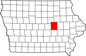 | |
|---|---|---|
| Chelsea | ||
| Gladbrook | ||
| Le Grand | ||
| Tama | ||
| Toledo | ||
| Traer | ||
| Clemons | 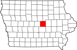 | |
|---|---|---|
| Haverhill | ||
| Le Grand | ||
| Marshalltown | ||
| State Center | ||