Le'auva'a
| Le'auva'a | |
|---|---|
| Village | |
 Le'auva'a Location in Samoa | |
| Coordinates: 13°48′00″S 171°52′19″W / 13.80000°S 171.87194°WCoordinates: 13°48′00″S 171°52′19″W / 13.80000°S 171.87194°W | |
| Country |
|
| District | Gaga'emauga |
| Population (2006) | |
| • Total | 3,041 |
| Time zone | -11 |
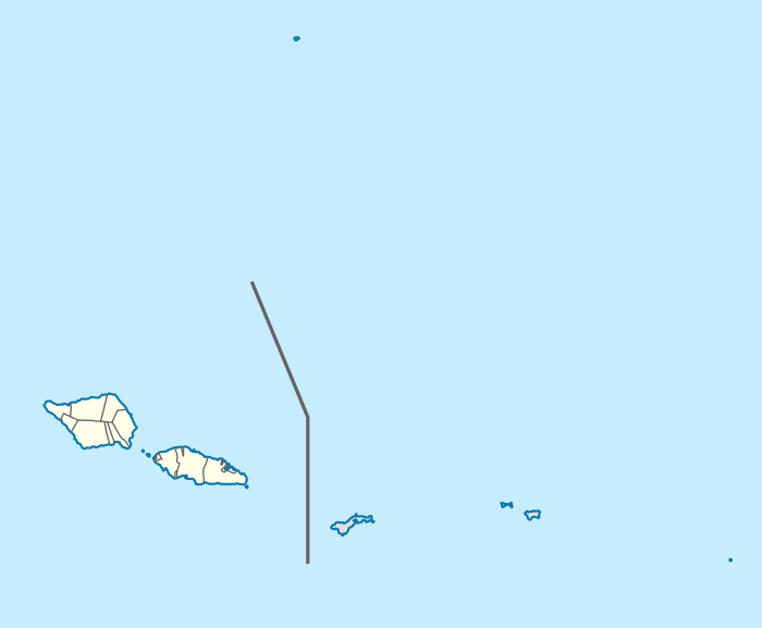
Le'auva'a is a village on the island of Upolu in Samoa. The population is 3,041.[1]
Although the village, with an area of 5.558 km²,[2] is geographically located on Upolu, the village is politically (and historically) part of the political district of Gaga'emauga on the island of Savai'i.[3]
The settlement was relocated to Upolu in the early 1900s following volcanic eruptions from Mt Matavanu which destroyed villages on the central north coast of Savai'i. The eruptions have left behind extensive lava fields at Saleaula.
Salamumu is another settlement on Upolu island which was also relocated from Savai'i following the volcanic eruptions.
Le'auva'a is part of the electoral constituency (faipule district) Gaga'emauga I, which includes three other villages on Savai'i island, Mauga, Patamea and Samalae'ulu.[1]
References
- 1 2 "Population and Housing Census Report 2006" (PDF). Samoa Bureau of Statistics. July 2008. Archived from the original on July 21, 2011. Retrieved 19 December 2009.
- ↑ http://www.sbs.gov.ws/mwg-internal/de5fs23hu73ds/progress?id=yB_twy5QnQL4xW5uywc0M-mIxhUHAQkgxjNTqLEdsCw,&dl], page 56
- ↑ "Samoa Territorial Constituencies Act 1963". Pacific Islands Legal Information Institute. Retrieved 15 December 2009.
Traditional center: Saleaula | ||
| Villages | 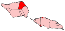 | |
| Landmarks |
| |
| Conservation & Environment | ||
| Education & Schools | ||
| Electoral constituencies: Faipule Districts |
| |