Leland, Norway
| Leland | |
|---|---|
| Village | |
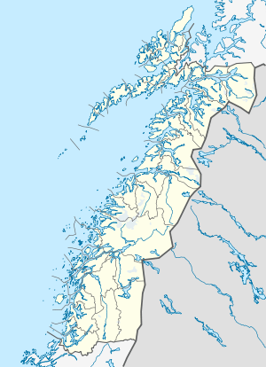 Leland  Leland Location in Nordland | |
| Coordinates: 66°03′48″N 12°56′12″E / 66.06333°N 12.93667°ECoordinates: 66°03′48″N 12°56′12″E / 66.06333°N 12.93667°E | |
| Country | Norway |
| Region | Northern Norway |
| County | Nordland |
| District | Helgeland |
| Municipality | Leirfjord |
| Area[1] | |
| • Total | 0.68 km2 (0.26 sq mi) |
| Elevation[2] | 21 m (69 ft) |
| Population (2013)[1] | |
| • Total | 620 |
| • Density | 912/km2 (2,360/sq mi) |
| Time zone | CET (UTC+01:00) |
| • Summer (DST) | CEST (UTC+02:00) |
| Post Code | 8890 Leirfjord |
Leland is a village and the administrative centre of the municipality of Leirfjord in Nordland county, Norway. it is located on the northern shore of the Leirfjorden along Norwegian County Road 17. The town of Sandnessjøen is about 20 kilometres (12 mi) southwest of Leland. The village of Sundøy lies to the south and Bardalssjøen lies to the northeast. Leland features two small grocery stores, a hairdresser, a café, a large sports-centre, Leirfjord Church, and a number of other amenities.[3] The 0.68-square-kilometre (170-acre) village has a population (2013) of 620. The population density of the village is 912 inhabitants per square kilometre (2,360/sq mi).[1]
References
- 1 2 3 Statistisk sentralbyrå (1 January 2013). "Urban settlements. Population and area, by municipality.".
- ↑ "Leland" (in Norwegian). yr.no. Retrieved 2012-01-03.
- ↑ Store norske leksikon. "Leland" (in Norwegian). Retrieved 2012-01-09.
This article is issued from Wikipedia - version of the 7/31/2016. The text is available under the Creative Commons Attribution/Share Alike but additional terms may apply for the media files.