Leoville Airport
| Leoville Airport | |||||||||||||||
|---|---|---|---|---|---|---|---|---|---|---|---|---|---|---|---|
| IATA: none – ICAO: none – TC LID: CJT9 | |||||||||||||||
| Summary | |||||||||||||||
| Airport type | Public | ||||||||||||||
| Operator | Village of Leoville | ||||||||||||||
| Location | Spiritwood No. 496, near Leoville, Saskatchewan | ||||||||||||||
| Time zone | CST (UTC−06:00) | ||||||||||||||
| Elevation AMSL | 1,960 ft / 597 m | ||||||||||||||
| Coordinates | 53°37′14″N 107°36′34″W / 53.62056°N 107.60944°WCoordinates: 53°37′14″N 107°36′34″W / 53.62056°N 107.60944°W | ||||||||||||||
| Map | |||||||||||||||
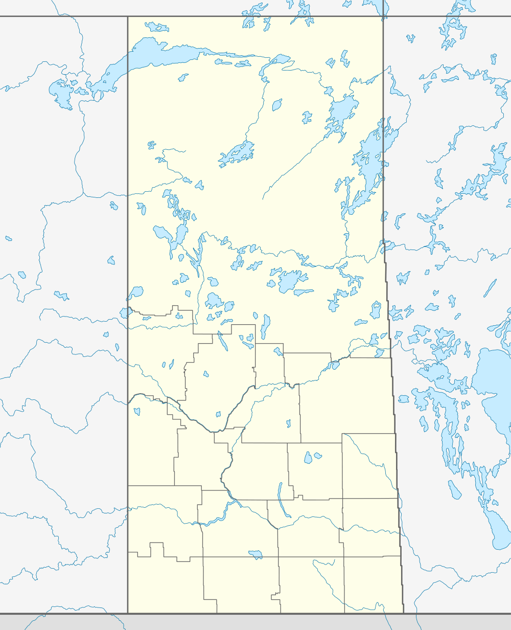 CJT9  CJT9 Location in Saskatchewan | |||||||||||||||
| Runways | |||||||||||||||
| |||||||||||||||
|
Source: Canada Flight Supplement[1] | |||||||||||||||
Leoville Airport, (TC LID: CJT9), is located 2 nautical miles (3.7 km; 2.3 mi) west of Leoville, Saskatchewan, Canada.
References
- ↑ Canada Flight Supplement. Effective 0901Z 15 September 2016 to 0901Z 10 November 2016
| By name | |
|---|---|
| By location indicator | |
| By province/territory | |
| By region | |
| National Airports System | |
| Related | |
| |
This article is issued from Wikipedia - version of the 12/4/2016. The text is available under the Creative Commons Attribution/Share Alike but additional terms may apply for the media files.