Les Mureaux
| Les Mureaux | ||
|---|---|---|
|
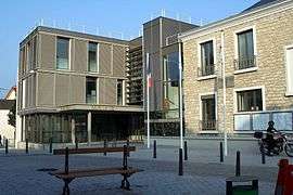
The town hall in Les Mureaux | ||
| ||
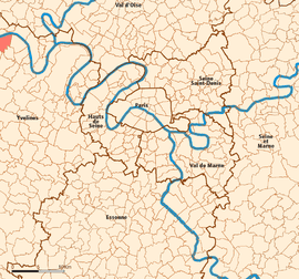 Location (in red) within Paris inner and outer suburbs | ||
| Coordinates: 48°59′15″N 1°55′02″E / 48.9875°N 1.9172°ECoordinates: 48°59′15″N 1°55′02″E / 48.9875°N 1.9172°E | ||
| Country | France | |
| Region | Île-de-France | |
| Department | Yvelines | |
| Arrondissement | Mantes-la-Jolie | |
| Canton | Meulan | |
| Government | ||
| • Mayor | François Garay | |
| Area1 | 11.99 km2 (4.63 sq mi) | |
| Population (2006)2 | 32,942 | |
| • Density | 2,700/km2 (7,100/sq mi) | |
| Time zone | CET (UTC+1) | |
| • Summer (DST) | CEST (UTC+2) | |
| INSEE/Postal code | 78440 / 78130 | |
| Elevation | 18–53 m (59–174 ft) | |
|
1 French Land Register data, which excludes lakes, ponds, glaciers > 1 km² (0.386 sq mi or 247 acres) and river estuaries. 2 Population without double counting: residents of multiple communes (e.g., students and military personnel) only counted once. | ||

Les Mureaux is a commune in the Yvelines department in the Île-de-France region in north-central France. It is located in the north-western suburbs of Paris, 35.9 km (22.3 mi) from the centre of Paris.
Transport
Les Mureaux is served by Les Mureaux station on the Transilien Paris – Saint-Lazare suburban rail line.
Education
There are eleven preschools, eleven elementary schools, three junior high schools, and two senior high schools/sixth form colleges in Les Mureaux.[1]
Junior high schools:
- Collège Paul-Verlaine
- Collège Jules-Verne
- Collège Jean-Vilar
Senior high schools/sixth form colleges:
- Lycée professionnel et technologique Jacques-Vaucanson
- Lycée général et technologique François-Villon
International relations
Twin towns — Sister cities
Les Mureaux is twinned with:
See also
References
- ↑ "Liste des établissements." Les Mureaux. Retrieved on September 2, 2016.
External links
| Wikimedia Commons has media related to Les Mureaux. |
- Official website (in French)
This article is issued from Wikipedia - version of the 9/2/2016. The text is available under the Creative Commons Attribution/Share Alike but additional terms may apply for the media files.