List of Indiana state historical markers in Madison County
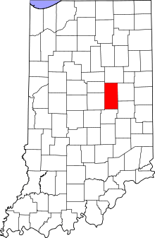
Location of Madison County in Indiana
This is a list of the Indiana state historical markers in Madison County.
This is intended to be a complete list of the official state historical markers placed in Madison County, Indiana, United States by the Indiana Historical Bureau. The locations of the historical markers and their latitude and longitude coordinates are included below when available, along with their names, years of placement, and topics as recorded by the Historical Bureau. There are 3 historical markers located in Madison County.[1]
Historical markers
| Marker title | Image | Year placed | Location | Topics |
|---|---|---|---|---|
| Massacre of Indians[2] |  |
1966 | State Road 38 0.5 miles east of Markleville 39°58′31.2″N 85°36′12″W / 39.975333°N 85.60333°W |
American Indian/Native American |
| Indiana's First Interurban[3] | 1967 | Southeastern corner of the junction of Harrison and Church Streets in Alexandria 40°15′48.6″N 85°40′27.6″W / 40.263500°N 85.674333°W |
Transportation, Business, Industry, and Labor | |
| Wendell Willkie[4] |  |
2001 | Junction of 19th and N. J Streets at Callaway Park near a picnic pavilion along Big Duck Creek in Elwood 40°17′6″N 85°50′5″W / 40.28500°N 85.83472°W |
Politics |
See also
- List of Indiana state historical markers
- National Register of Historic Places listings in Madison County, Indiana
References
- ↑ "Indiana Historical Markers by County". State of Indiana. Retrieved 2012-03-15.
- ↑ Massacre of Indians, Indiana Historical Bureau, n.d. Accessed 2012-03-14.
- ↑ Indiana's First Interurban, Indiana Historical Bureau, n.d. Accessed 2012-03-14.
- ↑ Wendell Willkie, Indiana Historical Bureau, n.d. Accessed 2012-03-14.
External links
Municipalities and communities of Madison County, Indiana, United States | ||
|---|---|---|
| Cities | ||
| Towns | ||
| Townships | ||
| Unincorporated communities |
| |
| Footnotes | ‡This populated place also has portions in an adjacent county or counties | |
This article is issued from Wikipedia - version of the 8/9/2016. The text is available under the Creative Commons Attribution/Share Alike but additional terms may apply for the media files.