List of Indiana state historical markers in Ohio County
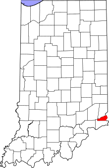
Location of Ohio County in Indiana
This is a list of the Indiana state historical markers in Ohio County.
This is intended to be a detailed table of the official state historical marker placed in Ohio County, Indiana, United States by the Indiana Historical Bureau. The location of the historical marker and its latitude and longitude coordinates are included below when available, along with its name, year of placement, and topics as recorded by the Historical Bureau. There is 1 historical marker located in Ohio County.[1]
Historical markers
| Marker title | Image | Year placed | Location | Topics |
|---|---|---|---|---|
| Lochry's Defeat[2] | 1961 | State Road 56 at the Dearborn County line, 200 feet south of Laughery Creek and north of French 39°1′30″N 84°53′1″W / 39.02500°N 84.88361°W |
Military, Early Settlement and Exploration |
See also
- List of Indiana state historical markers
- National Register of Historic Places listings in Ohio County, Indiana
References
- ↑ "Indiana Historical Markers by County". State of Indiana. Retrieved 2012-03-15.
- ↑ Lochry's Defeat, Indiana Historical Bureau, n.d. Accessed 2012-03-14.
External links
Municipalities and communities of Ohio County, Indiana, United States | ||
|---|---|---|
| City | ||
| Townships | ||
| Unincorporated communities | ||
This article is issued from Wikipedia - version of the 8/9/2016. The text is available under the Creative Commons Attribution/Share Alike but additional terms may apply for the media files.