List of Indiana state historical markers in Wayne County
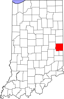
Location of Wayne County in Indiana
This is a list of the Indiana state historical markers in Wayne County.
This is intended to be a complete list of the official state historical markers placed in Wayne County, Indiana, United States by the Indiana Historical Bureau. The locations of the historical markers and their latitude and longitude coordinates are included below when available, along with their names, years of placement, and topics as recorded by the Historical Bureau. There are 7 historical markers located in Wayne County.[1]
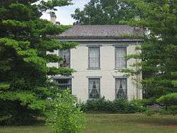
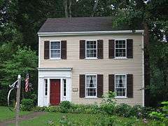
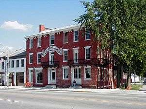
Historical markers

See also
- List of Indiana state historical markers
- National Register of Historic Places listings in Wayne County, Indiana
References
- ↑ "Indiana Historical Markers by County". State of Indiana. Retrieved 2012-03-15.
- ↑ Oliver P. Morton Home, Indiana Historical Bureau, n.d. Accessed 2012-03-14.
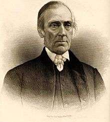
- ↑ Iron Brigade Commander, Indiana Historical Bureau, n.d. Accessed 2012-03-14.
- ↑ East Germantown Civil War Band, Indiana Historical Bureau, n.d. Accessed 2012-03-14.
- ↑ Overbeck House and Studio, Indiana Historical Bureau, n.d. Accessed 2012-03-14.
- ↑ Cambridge City, Indiana Historical Bureau, n.d. Accessed 2012-03-14.
- ↑ Levi Coffin, Indiana Historical Bureau, n.d. Accessed 2012-03-14.
- ↑ Indiana's First Woman's Rights Convention, Indiana Historical Bureau, n.d. Accessed 2012-03-14.
External links
Municipalities and communities of Wayne County, Indiana, United States | ||
|---|---|---|
| City | ||
| Towns | ||
| Townships | ||
| Unincorporated communities | ||
This article is issued from Wikipedia - version of the 8/9/2016. The text is available under the Creative Commons Attribution/Share Alike but additional terms may apply for the media files.