List of Interstate Highways in California
| Interstate Highways in California | |
|---|---|
|
Standard Interstate signage in California | |
 | |
| Highway names | |
| Interstates: | Interstate XX (I-XX) |
| US Highways: | U.S. Route XX (US XX) |
| State: | State Route XX (SR XX) |
| System links | |
.svg.png)
.svg.png)
.svg.png)
This is a list of Interstates in the U.S. state of California that have existed since the 1964 renumbering. It includes routes that were defined by the California State Legislature but never built, as well as routes that have been entirely relinquished to local governments.
Each state highway in California is maintained by the California Department of Transportation (Caltrans) and is assigned a Route (officially State Highway Route[1][2]) number in the Streets and Highways Code (Sections 300-635). Under the code, the state assigns a unique Route X to each highway, and does not differentiate between state, US, or Interstate highways.
Overview
- Lengths for each state route were initially measured as they were during the 1964 state highway renumbering (or during the year the route was established, if after 1964) based alignment that existed at the time, and do not necessarily reflect the current mileage. Portions of some routes have been relinquished to or are otherwise maintained by local or other governments, and may not be included in the length listed below. Several routes are broken into non-contiguous pieces, and their lengths may not reflect the overlaps that would be required to make them continuous. Some routes may also have a gap because it is either explicitly defined in the California Streets and Highways Code or due to an unconstructed portion, and the listed length may or may not reflect the gap.
- If a route was renumbered, the old or new number is given in the "notes" column.
- The years are when legislative action was taken, not when real-world changes were made.
- Concurrences are not explicitly codified in the Streets and Highways Code; such highway segments are listed on only one of the corresponding legislative route numbers—for example, the I-80/I-580 concurrency, known as the Eastshore Freeway, is only listed under Route 80 in the highway code while the definition of Route 580 is broken into non-contiguous segments. When a highway is broken into such segments, the total length recorded by Caltrans only reflects those non-contiguous segments, and does not include those overlaps that would be required to make the route continuous.
- Since the 1990s, a number of piecemeal relinquishments have been made. These are generally reflected in the length but not the termini.
- Former termini are not shown if they are along the current route, meaning that the route was simply extended.
- One Interstate Highway—Interstate 305—is defined only federally; the state calls it part of US 50. It is signed as part of Business Interstate 80, the only state-maintained Interstate business route in California.
Primary Interstates
| Number | Length (mi)[3][lower-alpha 1] | Length (km) | Southern or western terminus | Northern or eastern terminus | Formed | Removed | Notes | |
|---|---|---|---|---|---|---|---|---|
| 796.432 | 1,281.733 | Mexican border in San Ysidro, San Diego | I-5 at the Oregon state line | 1947 | current | |||
| — | — | I-5 near Tracy | I-5 near Dunnigan | 1957 | 1970 | Former designation of #I0580I-580 and I-505 | ||
| 171.98 | 276.77 | Nimitz Boulevard, Sunset Cliffs Boulevard in San Diego | I-8 at the Arizona state line | 1964 | current | |||
| — | — | I-5 in Wheeler Ridge | I-5 in Stockton or Sacramento | proposed | — | Routed along current SR 99; could be designated I-7 | ||
| 243.31[lower-alpha 2] | 391.57 | SR 1 in Santa Monica | I-10 at the Arizona state line | 1947 | current | Route 10, as defined by the state, is broken into two segments at the East Los Angeles Interchange; traffic is directed via I-5 to connect the two; the portion between I-5 and US 101 not signed | ||
| 287.26[lower-alpha 3] | 462.30 | I-8 in San Diego | I-15 at the Nevada state line | 1957 | current | |||
| — | — | I-15 in Temecula | I-15 in Devore, California | 1973 | 1982 | Renumbered from I-215 in 1973 and back to I-215 in 1982 | ||
| 154.623 | 248.842 | I-15 in Barstow | I-40 at the Arizona state line | 1947 | current | |||
| 205.07 | 330.03 | US 101 in San Francisco | I-80 at the Nevada state line | 1947 | current | Westernmost segment between US 101 and the Bay Bridge is not officially recognized as an Interstate by the FHWA | ||
| ||||||||
-
I-5 in the Central Valley
-
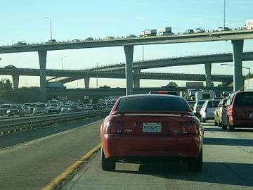
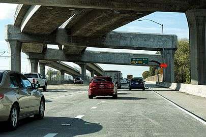
Heavy traffic in downtown San Bernardino along I-10 near the interchange with the Downtown San Bernardino Freeway (I-215)
-
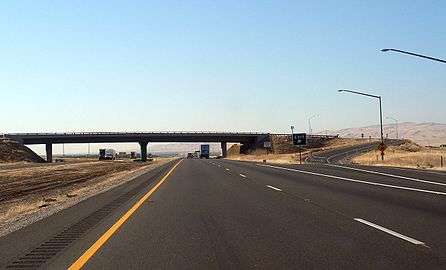
Former mileage sign at start of Interstate 40 in Barstow, California, 1997
-
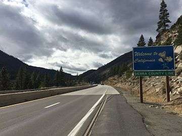
Entering California from Nevada along I-80
Auxiliary Interstates
| Number | Length (mi)[4][lower-alpha 1] | Length (km) | Southern or western terminus | Northern or eastern terminus | Formed | Removed | Notes | |
|---|---|---|---|---|---|---|---|---|
| 18.82 | 30.29 | SR 1 in El Segundo | I-605 in Norwalk | 1982 | current | Right-of-way formerly planned as part of SR 42 | ||
| — | — | I-5 in East Los Angeles | US 101 in Los Angeles | 1964 | 1968 | Renumbered as US 101; part of East Los Angeles Interchange | ||
| 23.73[lower-alpha 3] | 38.19 | SR 47 in San Pedro | I-10 in Los Angeles | 1978 | current | Former routing of US 6/SR 11 | ||
| — | — | I-10/I-5 in East Los Angeles | US 101 in Los Angeles | 1964 | 1968 | Deleted from highway system; part of East Los Angeles Interchange | ||
| — | — | US 101 in San Rafael | I-80 in Berkeley | 1981 | 1991 | Former designation of I-580 | ||
| 12.973 | 20.878 | I-580 near Tracy | I-5 near Manteca | 1970 | current | Formerly part of US 50 | ||
| 44.90[lower-alpha 3] | 72.26 | I-5 in Los Angeles | SR 57 in Glendora | 1964 | current | Entire length of SR 210 to be renumbered to I-210 | ||
| 55.060 | 88.610 | I-15 in Murrieta | I-15 in San Bernardino | 1982 | current | Formerly I-15E and SR 215 | ||
| 2.126[lower-alpha 3] | 3.421 | I-580 in Castro Valley | I-880 in San Leandro | 1983 | current | Technically a spur of I-80; only violation in the Interstate system | ||
| 57.510 | 92.553 | US 101/I-680 in San Jose | King and 5th Streets in San Francisco | 1955 | current | |||
| 5.64 | 9.08 | I-80 in West Sacramento | SR 99 in Sacramento | 1981 | current | Unsigned designation used by the FHWA and the AASHTO ; signed as part of US 50/Business I-80 | ||
| 1.67 | 2.69 | I-280 in San Bruno | US 101 in South San Francisco | 1964 | current | Formerly proposed to be extended west to SR 1 and east along the Southern Crossing to I-880 | ||
| 72.415 | 116.541 | I-5 in Irvine | I-5 near San Fernando | 1964 | current | |||
| — | — | US 101 in San Francisco | I-80 in San Francisco | 1957 | 1968 | Demoted to state highway in 1968 | ||
| 32.99 | 53.09 | I-80 in Vacaville | I-5 near Dunnigan | 1977 | current | Formerly part of I-5W | ||
| 75.550[lower-alpha 2] | 121.586 | US 101 in San Rafael | I-5 near Tracy | 1947 | current | Various segments formerly part of US 50, I-5W or SR 17 | ||
| 27.40 | 44.10 | I-405/SR 22 in Seal Beach | I-210 in Irwindale | 1964 | current | |||
| 70.536 | 113.517 | US 101/I-280 in San Jose | I-80 in Fairfield | 1955 | current | Formerly part of SR 21 | ||
| 24.249[lower-alpha 4] | 39.025 | SR 47 in Long Beach | Valley Boulevard in Alhambra | 1984 | current | Formerly part of SR 7. The Seaside Freeway portion is unsigned and not federally recognized as an Interstate. | ||
| 6.759 | 10.878 | I-80 in Vallejo | I-680 in Benicia | 1976 | current | Formerly part of I-680 | ||
| 28.016 | 45.087 | I-5 in San Ysidro, San Diego | I-5 in Sorrento Valley, San Diego | 1959 | current | |||
| 45.698 | 73.544 | I-280/SR 17 in San Jose | I-80/I-580 in Oakland | 1984 | current | Formerly part of SR 17 | ||
| 8.964 | 14.426 | I-5 in San Diego | Mexican broder near Otay Mesa | proposed | — | Currently SR 905 | ||
| 2.027 | 3.262 | I-880 in Oakland | I-580/SR 24 in Oakland | 1981 | current | Right-of-way formerly part of SR 24 | ||
| ||||||||
-
Westbound view along Interstate 105 through the Interstate 110 interchange
-
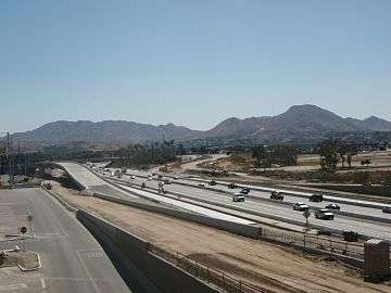
Construction on I-215 between Inland Center Drive and Orange Show Road in San Bernardino
-
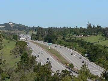
I-280 running along near Stanford University
-
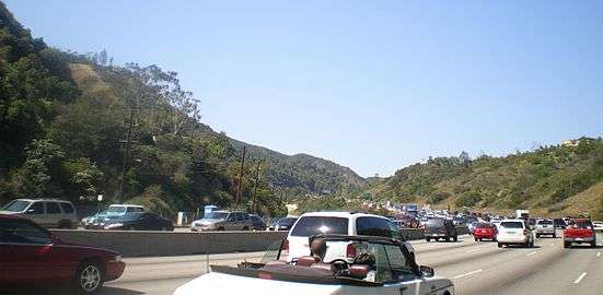
Cars driving on I-405 through the Sepulveda Pass
-
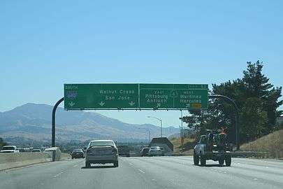
Southbound at I-680 near SR 4, with Mount Diablo on the left.
-
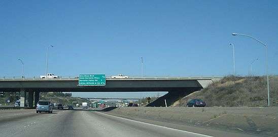
The Miramar Road overpass on I-805 northbound, with the Eastgate Mall bridge in the background
See also
 California Roads portal
Notes
- 1 2 Lengths rounded to the nearest mile or tenth-mile are estimated from various sources including Google Maps.
- 1 2 This route is broken into pieces, and the length does not reflect the overlaps that would be required to make the route continuous.
- 1 2 3 4 Part of one of the contiguous routes that is partially signed as an Interstate Highway, while the remaining segment is signed as a state highway.
- ↑ This route is broken into pieces due to a gap in the description, unfilled by any route.
References
- ↑ "Section 231". California Streets and Highways Code – via Wikisource.
- ↑ California Department of Transportation. "Other State Highway Routes". Sacramento: California Department of Transportation.
- ↑ California Department of Transportation. "State Truck Route List" (XLS file). Sacramento: California Department of Transportation. Retrieved February 1, 2008.
- ↑ California Department of Transportation. "State Truck Route List" (XLS file). Sacramento: California Department of Transportation. Retrieved February 1, 2008.