Lister, British Columbia
| Lister, British Columbia | |
|---|---|
 Location of Lister in British Columbia | |
| Coordinates: 49°03′00″N 116°28′00″W / 49.05000°N 116.46667°WCoordinates: 49°03′00″N 116°28′00″W / 49.05000°N 116.46667°W | |
| Country |
|
| Province |
|
| Region | Kootenays |
| Regional district | Central Kootenay |
| Time zone | MST[1] (UTC-7) |
| Postal code span | VOB 1Y0 |
| Area code(s) | 250, 778 |
|
| |
Lister, British Columbia is a small community in the Kootenays region of British Columbia, Canada. It is located 10 miles (16 km) southeast of Creston and is just north of the Canada–US border.
Originally known as Camp Lister, it was established by Colonel Fred Lister after World War I as a soldier's settlement. Fred Lister later became the MLA for the Nelson-Creston riding. The community's name officially changed to Lister on November 29, 1984.[2] Lister is the closest community to the Bountiful commune.
Notes
References
| Subdivisions | 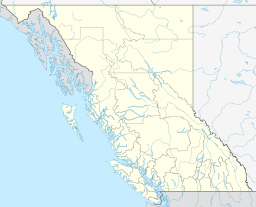 | |
|---|---|---|
| Communities | ||
| Metro areas and agglomerations | ||
| ||
This article is issued from Wikipedia - version of the 11/9/2016. The text is available under the Creative Commons Attribution/Share Alike but additional terms may apply for the media files.