Loitokitok
| Loitokitok | |
|---|---|
 Loitokitok Location of Loitokitok | |
| Coordinates: 2°55′30″S 37°30′36″E / 2.9250°S 37.5100°ECoordinates: 2°55′30″S 37°30′36″E / 2.9250°S 37.5100°E | |
| Country |
|
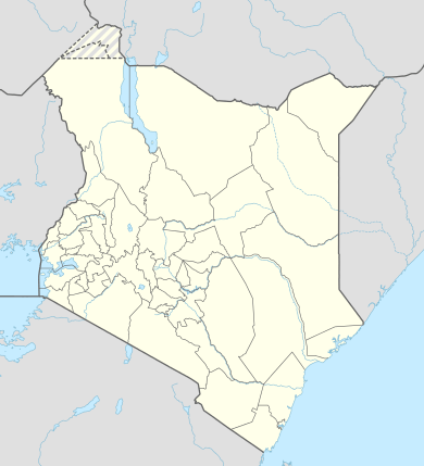
| County | Kajiado County |
| Elevation | 1,622 m (5,322 ft) |
| Time zone | EAT (UTC+3) |
Loitokitok, also Oloitokitok, is a town in Kajiado County, Kenya.
Location
The town lies within the foothills and in full view of Mount Kilimanjaro.
This location lies approximately 255 kilometres (158 mi), by road, southeast of Nairobi, the capital of Kenya and the largest city in that country.[1]
Tourists used to access and climb Kilimanjaro through Loitokitok as it was easily accessible to North side trail of Kilimanjaro. Climbers started to feel the beauty of Mount Kilimanjaro as it is full seen from Kenya side. Mount Kilimanjaro borders Kenya closely and there is usual Elephant migration between Kilimanjaro forest reserve via Olmolog and Kitendeni wildlife Corridor.[2]
Nowadays Rongai route is operating full from Tanzania and tourists pass through Kilimanjaro International Airport - iata code JRO, and icao code HTKJ
Overview
Loitokitok is small but growing town in southeastern Kenya, at its border with Tanzania. The town was previously the administrative headquarters of the former Loitokitok District in which it was located. Loitokitok is served by a general government hospital and by Loitokitok Airstrip.
Population
At this time there is no recent, reliable population estimate for the town of Loitokitok.
Points of Interest
Loitokitok or its environs, is the location of the following points of interest:
- The offices of Loitokitok Town Council
- The headquarters of Loitokitok District Administration
- Loitokitok General Hospital - Owned and administered by the Kenya Ministry of Health
- Loitokitok Post Office
- The International border between Kenya and the Republic of Tanzania - the border lies immediately southwest of the central business district of Loitokitok.
- A branch of Kenya Commercial Bank - A private financial institution
- Loitokitok Airport - A public, civilian airfield