Long Street

For other uses, see Long Street (disambiguation).
Long Street
Long Street
 Long Street shown within Buckinghamshire
OS grid referenceSP7948
Civil parishHanslope
Unitary authorityMilton Keynes
Ceremonial countyBuckinghamshire
RegionSouth East
CountryEngland
Sovereign stateUnited Kingdom
Post town Milton Keynes
Postcode district MK19
Dialling code 01908
Police Thames Valley
Fire Buckinghamshire
Ambulance South Central
EU Parliament South East England
UK ParliamentMilton Keynes North
List of places
UK
England
Buckinghamshire

Coordinates: 52°07′23″N 0°50′20″W / 52.123°N 0.839°W / 52.123; -0.839

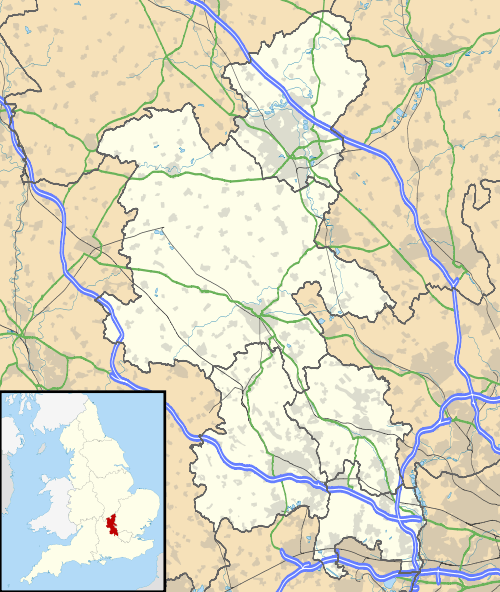
Long Street is a hamlet in the parish of Hanslope (where the 2011 Census population was included), in the Borough of Milton Keynes, ceremonial Buckinghamshire, England.[1] It is located on the road that leads from Hanslope to Northampton. The hamlet is named for the road on which the hamlet is located.

References

  1. Ordnance Survey: Landranger map sheet 152 Northampton & Milton Keynes (Buckingham & Daventry) (Map). Ordnance Survey. 2014. ISBN 9780319231715.
This article is issued from Wikipedia - version of the 11/24/2016. The text is available under the Creative Commons Attribution/Share Alike but additional terms may apply for the media files.