Low Dar Wood
| Low Dar Wood | |
|---|---|
 | |
| Geography | |
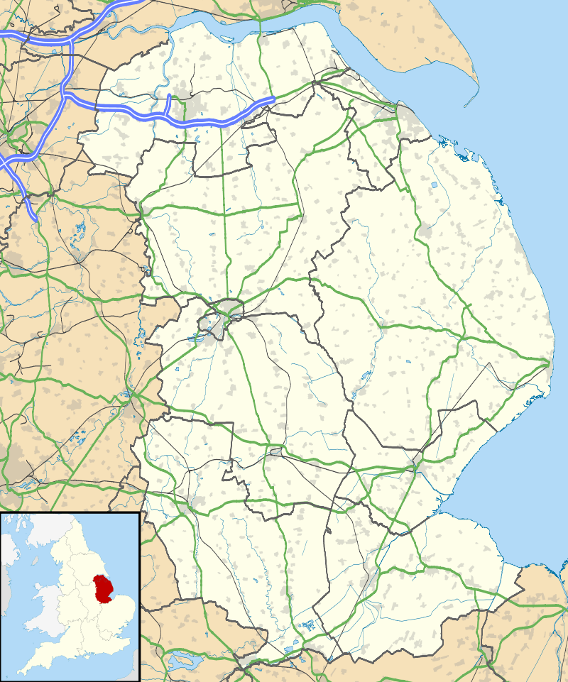 | |
| Location | Lincolnshire, England |
| Coordinates | 53°10′56″N 0°11′34″W / 53.18222°N 0.19278°WCoordinates: 53°10′56″N 0°11′34″W / 53.18222°N 0.19278°W |
| Elevation | 12 |
| Area | 2.6ha |
Low Dar Wood is a small woodland in the hamlet of Linwood in the parish of Stixwould and Woodhall, Lincolnshire. It is approximately a fifth of a mile south of the slightly larger High Dar Wood.
This article is issued from Wikipedia - version of the 9/20/2016. The text is available under the Creative Commons Attribution/Share Alike but additional terms may apply for the media files.