Lower Caldecote
Coordinates: 52°05′59″N 0°16′35″W / 52.09986°N 0.27637°W
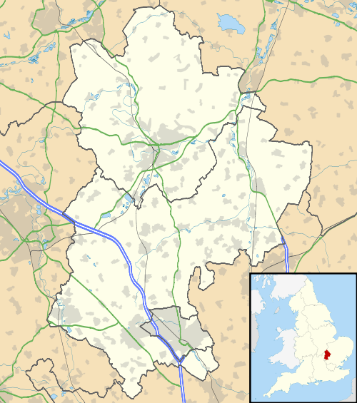
Lower Caldecote is a hamlet located in the Central Bedfordshire district of Bedfordshire, England. It also forms part of the Northill (where the 2011 Census population was included) civil parish. The nearest town to Lower Caldecote is Biggleswade.
Most of Lower Caldecote is situated directly to the west of the A1 road, though one farm and a sand and gravel extraction site lie on the eastern side of the A1 extending to the River Ivel.
See also
External links
This article is issued from Wikipedia - version of the 11/10/2016. The text is available under the Creative Commons Attribution/Share Alike but additional terms may apply for the media files.