Lukttinden
| Lukttinden | |
|---|---|
 Luktinden seen from Korgfjellvegen, going along the E6 to Luktvatnet | |
| Highest point | |
| Elevation | 1,343 m (4,406 ft) |
| Coordinates | 65°59′25″N 13°32′40″E / 65.99028°N 13.54444°ECoordinates: 65°59′25″N 13°32′40″E / 65.99028°N 13.54444°E |
| Geography | |
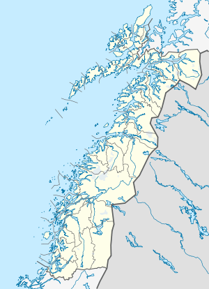 Lukttinden Location in Nordland | |
| Location | Vefsn, Nordland, Norway |
| Topo map | 1927 III Elsfjord and 1926 IV Fustvatnet |
Lukttinden is a 1,343-metre (4,406 ft) tall mountain in the municipality of Vefsn in Nordland county, Norway. The mountain lies between the towns of Mo i Rana and Mosjøen, directly east of the lake Ømmervatnet and directly south of the lake Luktvatnet. The better-known Okstindene is located just to the east, although Lukttinden is well known for its glacier and for having easier hiking conditions.[1]
Name
The mountain is named after the lake Luktvatnet. This name is probably from the Southern Sami language word Loektejaevrie, a compound of loekti which means 'inlet' and jaevrie which means 'lake', thus "the lake with many inlets". The suffix -tinden is the finite form of tind meaning 'mountain peak'.
References
- ↑ Store norske leksikon. "Lukttindan" (in Norwegian). Retrieved 2011-11-30.
External links
- topptur.net - information and tour planning
- Rana Spesialsport - information and tour planning
This article is issued from Wikipedia - version of the 12/6/2015. The text is available under the Creative Commons Attribution/Share Alike but additional terms may apply for the media files.