Lupoglav
| Lupoglav | |
|---|---|
| Municipality | |
| Lupoglav Municipality | |
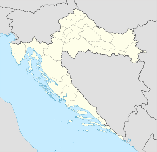 Lupoglav Location of Lupoglav in Croatia | |
| Coordinates: 45°21′47″N 14°06′14″E / 45.36306°N 14.10389°ECoordinates: 45°21′47″N 14°06′14″E / 45.36306°N 14.10389°E | |
| Country | Croatia |
| County | Istria |
| Population (2001)[1] | |
| • Total | 929 |
| Time zone | CET (UTC+1) |
| • Summer (DST) | CEST (UTC+2) |
| Website |
www |
Lupoglav (Italian: Lupogliano) is a village and municipality in Istria, Croatia. The population is 929 (2001).[1] The Castle Mahrenfels which belonged to the family Herberstein and later to the counts Brigido is situated over the village.
The Lupoglav Municipality is situated on the northeast of the Istrian Region. To the east it borders with the Primorsko-Goranska County and with the Istrian municipalities of Lanišće and Cerovlje and the City of Buzet. The municipality is crossed by the arterial roads that connect the Istrian region with the rest of Croatia - the Istrian Y and the tunnel of Učka. The municipality has a surface area of 92.19 km2, i.e. it accounts for 3.27% of the territory of the Istrian Region.
According to the population census from 2001 the municipality numbers 929 inhabitants. The settlements are as follows:[1]
- Boljun, population 73
- Boljunsko Polje, population 150
- Brest pod Učkom, population 46
- Dolenja Vas, population 82
- Lesišćina, population 65
- Lupoglav, population 328
- Semić, population 99
- Vranja, population 86
References
- 1 2 3 "Stanovništvo prema prisutnosti - Općina Lupoglav". Census. Croatian Bureau of Statistics. 2001. Retrieved 2011-04-17.
External links
| Wikimedia Commons has media related to Lupoglav. |
Subdivisions of Istria County | ||
|---|---|---|
| Cities and towns |  | |
| Municipalities | ||